Field Campaigns

PMM Article iFloods Banner
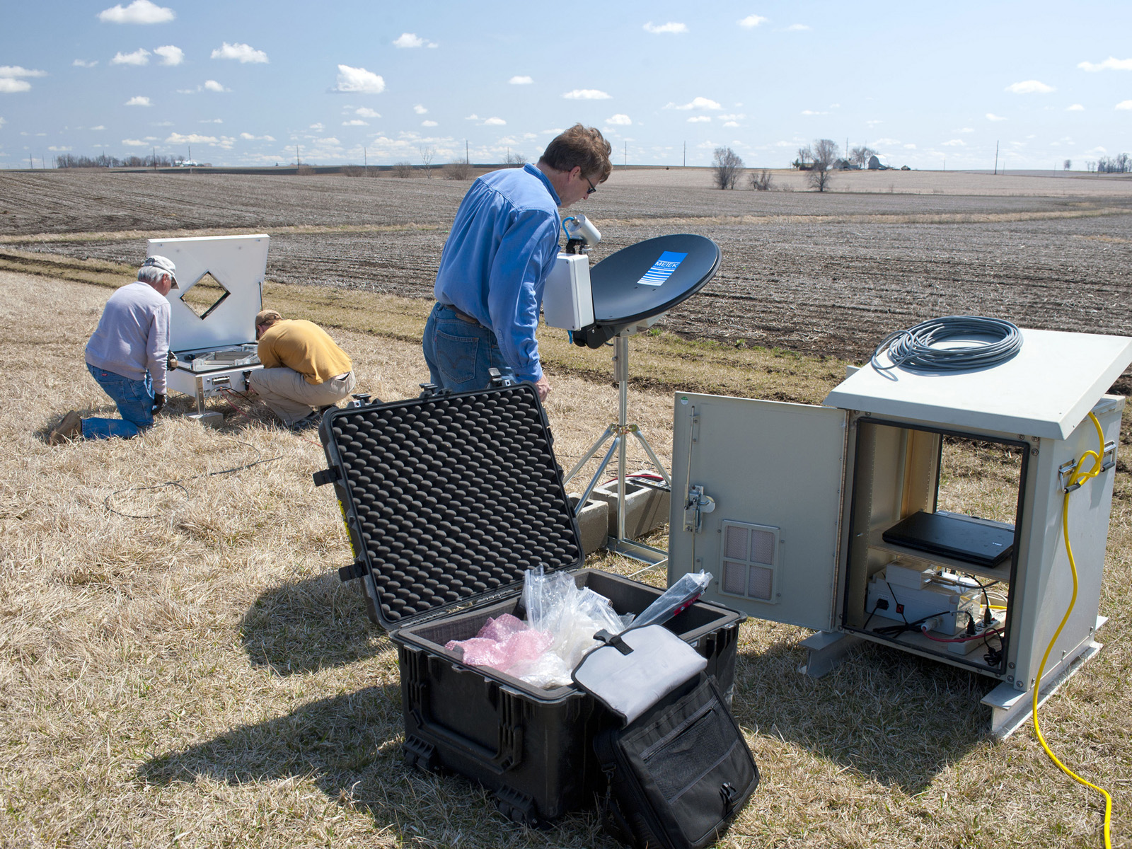
By Ellen Gray, NASA Goddard Space Flight Center Original www.nasa.gov Feature (published 4/30/13) Ground data now being collected in northeastern Iowa by the Iowa Flood Studies experiment will evaluate how well NASA's Global Precipitation Measurement (GPM) mission satellite rainfall data can be used for flood forecasting. GPM is an international satellite mission that will set a new standard for precipitation measurements from space, providing worldwide estimates of precipitation approximately every three hours. The GPM Core Observatory, provided by NASA and mission partner the Japan Aerospace...
GCPEx logo on falling snow background
By Ellen Gray, NASA Goddard Space Flight Center Original www.nasa.gov Press Release (published 1/12/12) Beginning Jan. 17, NASA will fly an airborne science laboratory above Canadian snowstorms to tackle a difficult challenge facing the upcoming Global Precipitation Measurement (GPM) satellite mission -- measuring snowfall from space. GPM is an international satellite mission that will set a new standard for precipitation measurements from space, providing next-generation observations of worldwide rain and snow every three hours. It is also the first mission designed to detect falling snow...
GPM flying over Earth with a data swath visualized.
The primary objectives of GCPEx are to obtain coordinated high quality in situ and remote sensing observations of falling snow events in a northern latitude climate. Such systems are prevalent in the Ontario region in the December- February timeframe where monthly mean snowfall amounts are approximately 40, 30 and 25 cm/month for December, January and February, respectively. Furthermore, the primary choice for DC-8 operations (Bangor, Maine) will allow potential sampling of Nor’Eastern Blizzards and heavy snow events over St. Johns Newfoundland (site of current NCAR snowfall measurements...
GPM and Cloudsat Researchers Meet in Helsinki to Discuss LPVEx Data

GPM and CloudSat ground validation researchers are currently meeting at the University of Helsinki to discuss strategies for analyzing airborne and ground-based datasets from the Light Precipitation Validation Experiment (LPVEx) field campaign. This data analysis will help improve satellite-based precipitation retrievals in high latitude light rain and snowfall events. Dr. Ari-Matte Hari, Director of the Radar and Space Technology Group, FMI, welcomes the group to the University of Helsinki and FMI. Learn more about the LPVEx field campaign
Document Description

During the GPM pre-launch period physically-based snowfall retrieval algorithms are in an active phase of development. Further refinement and testing of these emerging algorithms requires the collection of targeted ground-validation datasets in snowing environments. This document describes a field campaign effort designed to provide both new datasets and physical insights related to the snowfall process- especially as they relate to the incorporation of appropriate physics into GPM snowfall retrieval algorithms.

GPM flying over Earth with a data swath visualized.
The Light Precipitation Evaluation Experiment (LPVEx) took place in the Gulf of Finland in September and October, 2010 and collected microphysical properties, associated remote sensing observations, and coordinated model simulations of high latitude precipitation systems to drive the evaluation and development of precipitation algorithms for current and future satellite platforms. In doing so, LPVEx sought to address the general lack of dedicated ground-validation datasets from the ongoing development of new or improved algorithms for detecting and quantifying high latitude rainfall...