



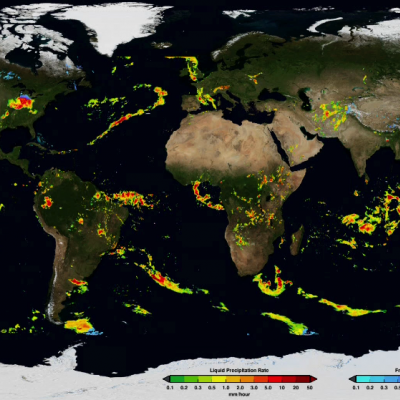
Initial IMERG Products Released
PPS is re-releasing the first public version IMERG products The Integrated Multi-satellitE Retrievals for GPM (IMERG) merges precipitation estimates from passive microwave sensors, geo-IR, and monthly surface precipitation gauge analysis data (where available) to provide half-hourly and monthly precipitation estimates and related fields on a 0.1° lat./long. grid over the domain 60°N-S. The current period of record is mid-March 2014 to the present (delayed by about 3 months) .Please refer to the IMERG Release notes , the technical IMERG document and the IMERG Algorithm Theoretical Basis