Iowa

A Week of Violent Weather And Heavy Rainfall

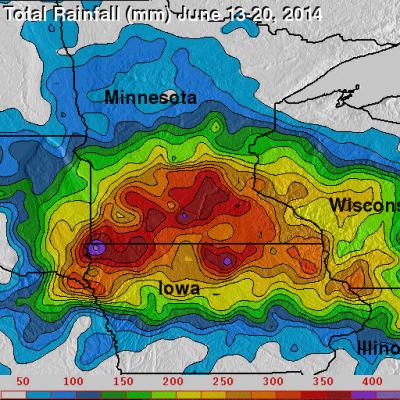
Over the past seven days stormy weather has spawned tornadoes and dropped extremely heavy rainfall in the Northern Plains and the Great Lakes states. This deluge has caused flooding in South Dakota, Minnesota, Iowa, Wisconsin and Illinios. There have been concerns about the Mississippi, Big Sioux and Rock River Rivers escaping their banks. For more than sixteen years rainfall has been monitored by the TRMM-based, near-real time Multi-satellite Precipitation Analysis (TMPA) . These products have been developed at the NASA Goddard Space Flight Center by the precipitation research team. (TMPA)
PMM Article Image
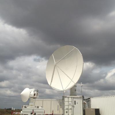
On a Wednesday afternoon in June, a severe storm outbreak spawned huge thunderstorms across Iowa and western Illinois. NASA's Polarimetric precipitation radar was in place to scan the storms as they swept through the region. "It's unbelievable out here," Walt Petersen of NASA's Wallops Flight Facility in Virginia wrote in an email dispatch from Traer, Iowa. There, two NASA radars were stationed as part of the Iowa Flood Studies field campaign, which Petersen led, for the Global Precipitation Measurement, or GPM, mission. Caption: A cluster of rain gauges and soil moisture sensors deployed in...
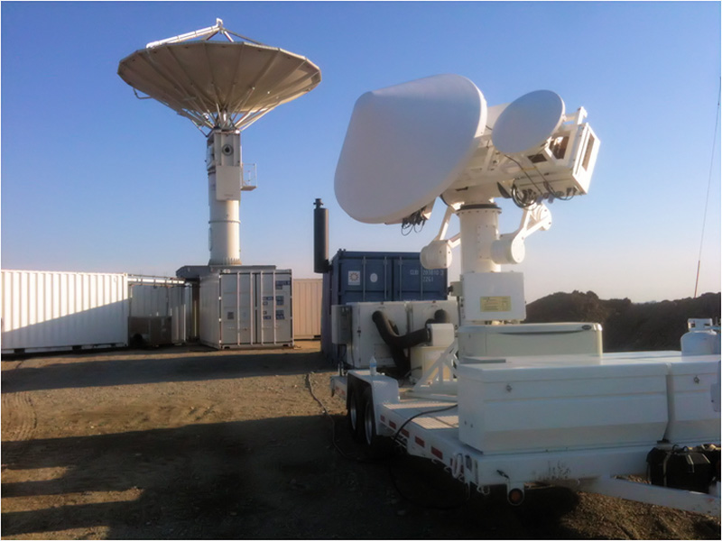
Precipitation Radars set up at IFloodS
JacobAdmin Mon, 08/12/2013
Image Caption
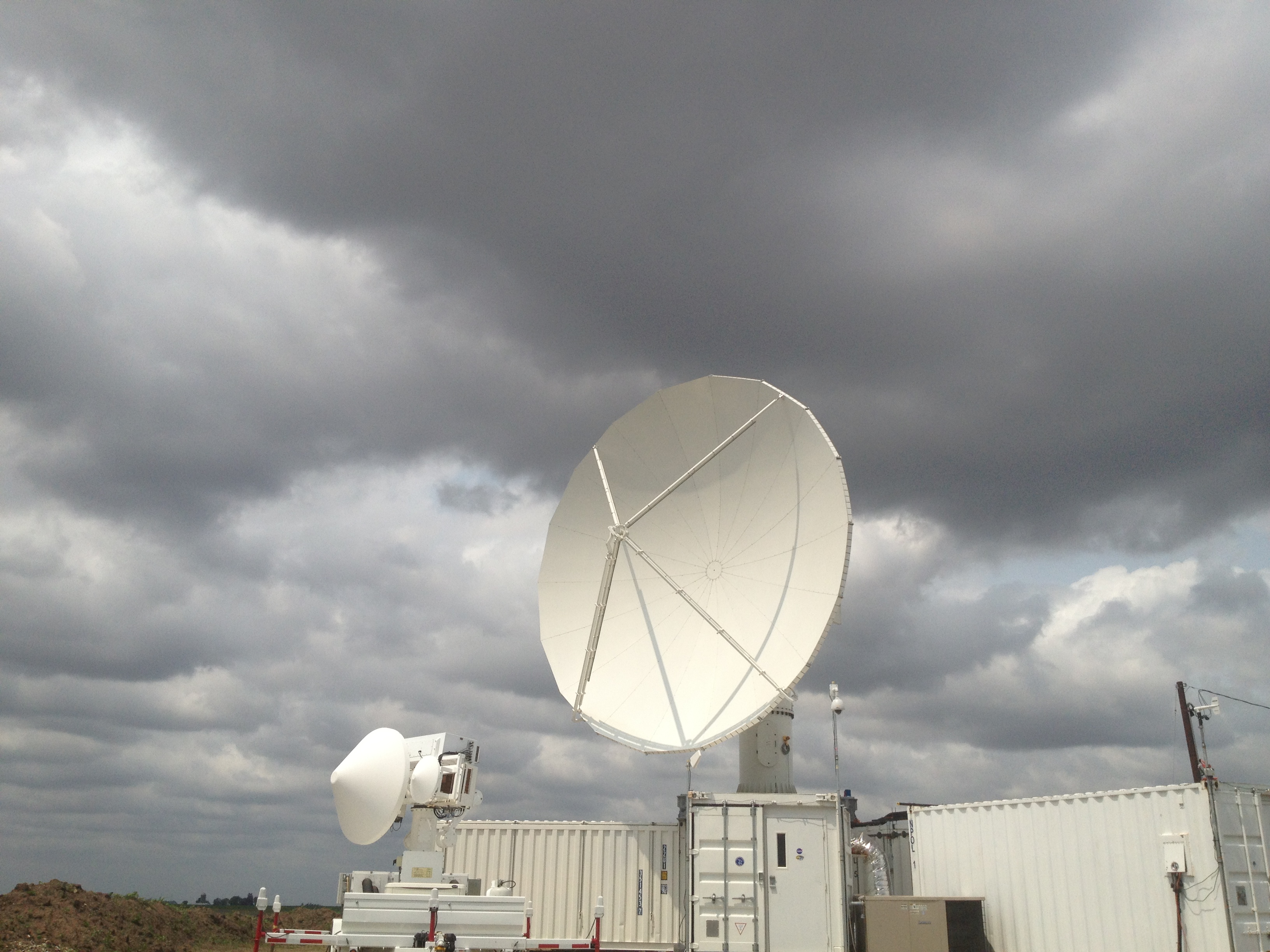
The NASA Polarimetric Radar (right) and Dual-Frequency, Dual-Polarimetric Doppler Radar (left) set up in field near Traer, Iowa.
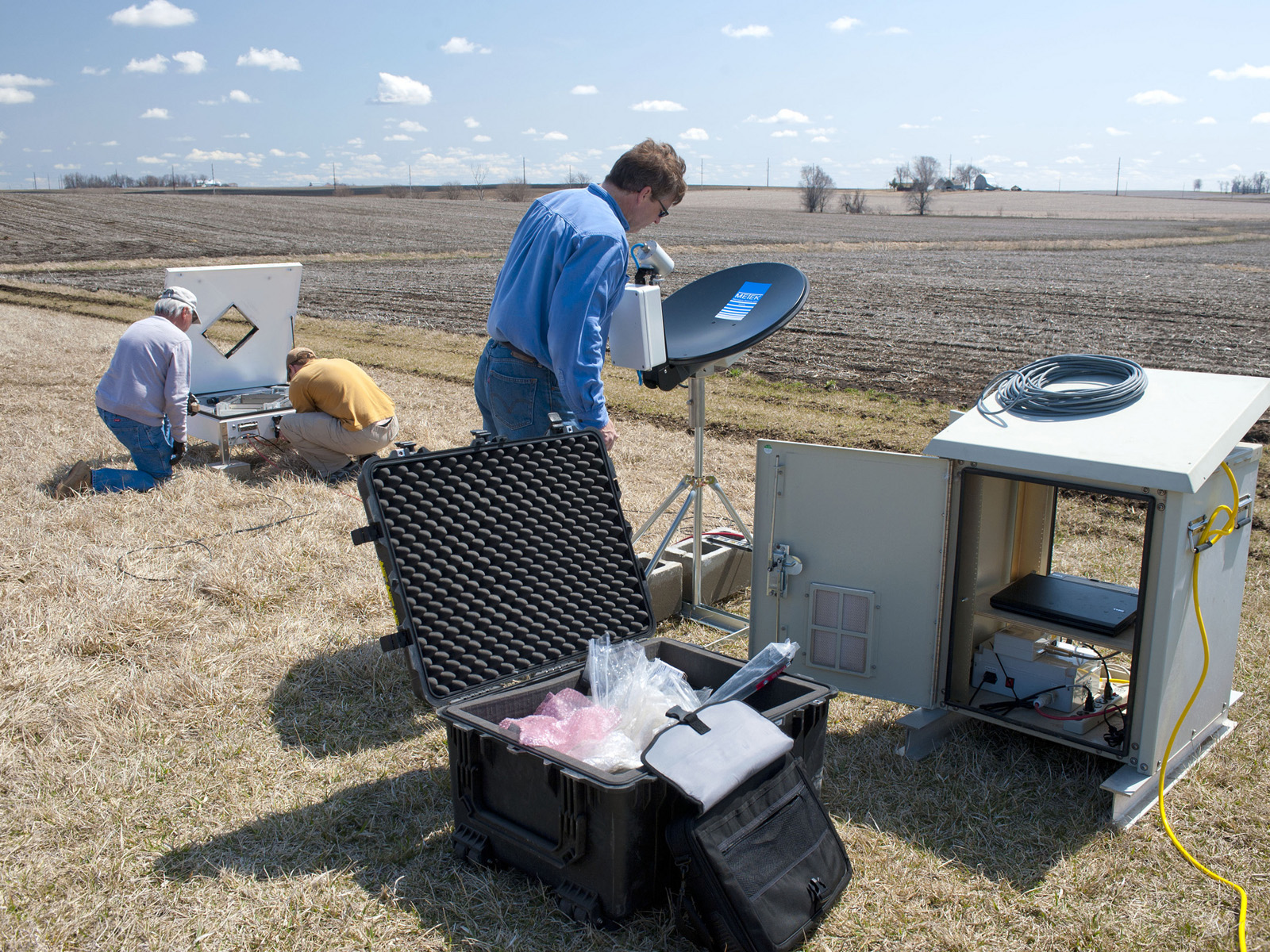
Rain Gauges at IFloodS
PMM Related Image
JacobAdmin Mon, 08/12/2013
Image Caption
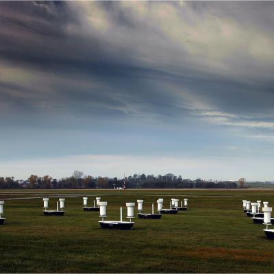
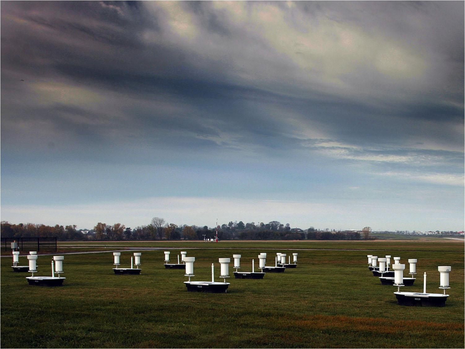
A cluster of rain gauges and soil moisture sensors deployed in Iowa during the IFloodS campaign.
IFloodS Observes Severe Storm Outbreak
Development of low storm clouds in the atmospheric mixing layer over the NPOL and D3R radars on June 12, 2013 at ~12:00 p.m. CDT. Credit: Walt Petersen /NASA . On Wednesday afternoon, June 12, a severe storm outbreak developed and moved across central and eastern Iowa, and then western Illinois, spawning huge thunderstorms and several tornadoes. NASA's Polarimetric (NPOL) precipitation radar, currently deployed in Iowa as part of the Iowa Flood Studies field campaign for the Global Precipitation Measurement mission, rapidly scanned these storms as they moved across the state. NPOL capturing...
PMM Article iFloods Banner
By Ellen Gray, NASA Goddard Space Flight Center Original www.nasa.gov Feature (published 4/30/13) Ground data now being collected in northeastern Iowa by the Iowa Flood Studies experiment will evaluate how well NASA's Global Precipitation Measurement (GPM) mission satellite rainfall data can be used for flood forecasting. GPM is an international satellite mission that will set a new standard for precipitation measurements from space, providing worldwide estimates of precipitation approximately every three hours. The GPM Core Observatory, provided by NASA and mission partner the Japan Aerospace...