NPOL

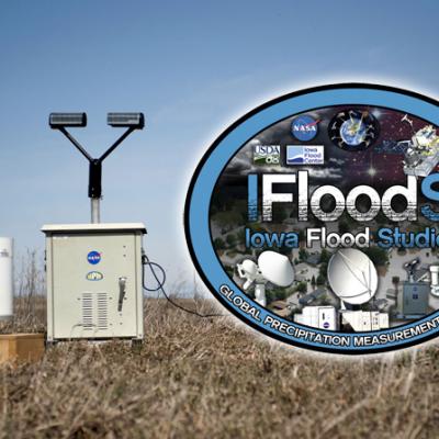
Researchers Gear Up for OLYMPEX

Submitted by JacobAdmin on Thu, 11/12/2015
Video Embed

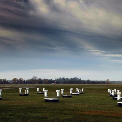
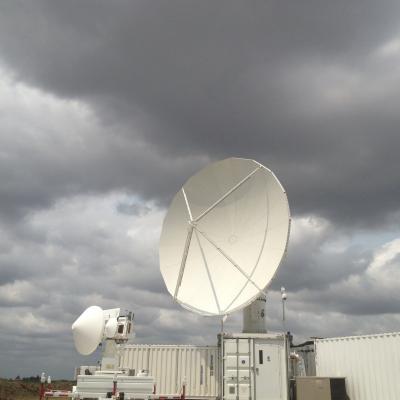
The Olympic Mountain Experiment, or OLYMPEX, is a NASA-led field campaign, which will take place on the Olympic Peninsula of Washington State from November 2015 through February 2016. The goal of the campaign is to collect detailed atmospheric measurements that will be used to evaluate how well rain-observing satellites measure rainfall and snowfall from space.

Pacific NW Campaign to Measure Rain & Snow
From Nov. 10 through Dec. 21, NASA and university scientists are taking to the field to study wet winter weather near Seattle, Washington. With weather radars, weather balloons, specialized ground instruments, and NASA's DC-8 flying laboratory, the science team will be verifying rain and snowfall observations made by the Global Precipitation Measurement (GPM) satellite mission. Credits: NASA's Goddard Space Flight Center The Pacific Northwest was chosen because of its frequent and persistent winter rain and snowfall. On average 100 to 180 inches of precipitation fall a year, making it one of...
NASA Begins IPHEx Field Campaign
Rain, ice, hail, severe winds, thunderstorms, and heavy fog – the Appalachian Mountains in the southeast United States have it all. On May 1, NASA begins a campaign in western North Carolina to better understand the difficult-to-predict weather patterns of mountain regions. The field campaign serves as ground truth for measurements made by the Global Precipitation Measurement (GPM) mission's Core Observatory. GPM is an international satellite mission to observe rain and snow around the world. The advanced instruments on the GPM Core Observatory satellite, launched Feb. 27, provide the next...
PMM Article Image
On a Wednesday afternoon in June, a severe storm outbreak spawned huge thunderstorms across Iowa and western Illinois. NASA's Polarimetric precipitation radar was in place to scan the storms as they swept through the region. "It's unbelievable out here," Walt Petersen of NASA's Wallops Flight Facility in Virginia wrote in an email dispatch from Traer, Iowa. There, two NASA radars were stationed as part of the Iowa Flood Studies field campaign, which Petersen led, for the Global Precipitation Measurement, or GPM, mission. Caption: A cluster of rain gauges and soil moisture sensors deployed in...
IFloodS Observes Severe Storm Outbreak
Development of low storm clouds in the atmospheric mixing layer over the NPOL and D3R radars on June 12, 2013 at ~12:00 p.m. CDT. Credit: Walt Petersen /NASA . On Wednesday afternoon, June 12, a severe storm outbreak developed and moved across central and eastern Iowa, and then western Illinois, spawning huge thunderstorms and several tornadoes. NASA's Polarimetric (NPOL) precipitation radar, currently deployed in Iowa as part of the Iowa Flood Studies field campaign for the Global Precipitation Measurement mission, rapidly scanned these storms as they moved across the state. NPOL capturing...
PMM Article iFloods Banner
By Ellen Gray, NASA Goddard Space Flight Center Original www.nasa.gov Feature (published 4/30/13) Ground data now being collected in northeastern Iowa by the Iowa Flood Studies experiment will evaluate how well NASA's Global Precipitation Measurement (GPM) mission satellite rainfall data can be used for flood forecasting. GPM is an international satellite mission that will set a new standard for precipitation measurements from space, providing worldwide estimates of precipitation approximately every three hours. The GPM Core Observatory, provided by NASA and mission partner the Japan Aerospace...
The NPOL radar and a Summer Tanger
By Ellen Gray , NASA Goddard Space Flight Center Original www.nasa.gov Press Release (published 6/7/12) NASA and Nature Conservancy Agreement Supports [no-glossary]Precipitation[/no-glossary] and Migratory Bird Research The NASA NPOL radar is a research grade S-band, scanning dual-polarimetric radar. It underwent a complete antenna system upgrade in 2010 and is one of two fully transportable research-grade S-band systems in the world. It is used to make accurate volumetric measurements of precipitation including rainfall rate, particle size distributions, water contents and precipitation type...

NPOL Ground Validation Instrument

The NPOL instrument, a large circular radar dish under a blue sky
Image Caption
The NASA NPOL radar is a research grade S-band, scanning dual-polarimetric radar.

The NPOL underwent a complete antenna system upgrade in 2010 and is one of two fully transportable research-grade S-band systems in the world.  It is used to make accurate volumetric measurements of precipitation including rainfall rate, particle size distributions, water contents and precipitation type.