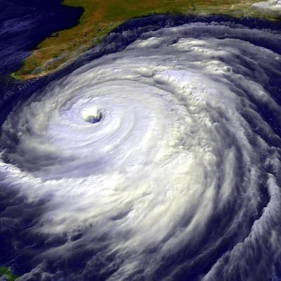
Stormfront approaching the city of Bangalore, India Source: Manish Bansal Constantly scanning the Earth’s surface, the GPM Microwave Imager (GMI) allows scientists to both track tropical cyclones and forecast their progression. Used by NOAA’s National Hurricane Center (NHC), the Joint Typhoon Warning Center (JTWC), and tropical cyclone centers in Japan, India, Australia and other countries, detailed microwave information provides data on the location, pattern and intensity of rainfall. Tropical Cyclone Eunice in the South Indian Ocean on January 28, 2015. GPM's Microwave Imager (GMI) found...