
TRMM VIIRS Level 1A01
The Level-1A product is a simple concatenation of Level-0 data with a Header, which could easily be reversed back to Level-0. Level-1A remains in a binary format and is not in HDF. The Level-1B format groups like data together.
The Research PPS data server "Arthurhou" contains research-quality products from the GPM and TRMM missions. Click here to learn about the difference between low latency / near real-time and research / production products.
The NASA Precipitation Processing System (PPS) evolved from the Tropical Rainfall Measuring Mission (TRMM) Science Data and Information System (TSDIS). The purpose of the PPS is to process, analyze and archive data from the Global Precipitation Measurement (GPM) mission, partner satellites and the TRMM mission. The PPS also supports GPM by providing validation products from GPM ground radar sites. All GPM, TRMM and Partner public data products are available to the science community and the general public from the GPM / TRMM Data Archive. Please note that you need to register to be able to access this data.
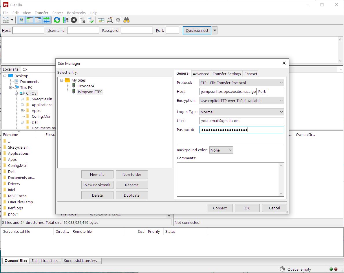
Due to NASA network policies the NASA Precipitation Processing System (PPS) will be transitioning from FTP to FTPS for access to download GPM and TRMM data. As a result of this change, users may need to update the methods they use to download data.
/gpmdata contains the latest version of available data products.
Directories are laid out as:
/gpmdata/documents ****!!!! Please review the contents of this directory. It contains important data notices and caveats !!!!****
/gpmdata/geolocation contains geolocation related files
/gpmdata/coincidence contains satellite-ground coincidence information
/gpmdata/browse contains PNG browse images of products.
Data products exist under:
/gpmdata/YYYY/MM/DD/
base/reg - 1B base radiometer products
1B - 1B radiometer products for GPMcore and all partners
1C - 1C radiometer products for GPMcore and all partners
radar - L2 and L3 products from DPR and Combined
gprof - L2 and L3 products from GPROF for GPMcore and all partners
imerg - IMERG products
The Level-1A product is a simple concatenation of Level-0 data with a Header, which could easily be reversed back to Level-0. Level-1A remains in a binary format and is not in HDF. The Level-1B format groups like data together.
The TRMM Visible and Infrared Scanner (VIRS) Level 1B Calibrated Radiance Product (1B01) contains calibrated radiances and auxiliary geolocation information from the five channels of the VIRS instrument, for each pixel of each scan. The data are stored in the Hierarchical Data Format (HDF), which includes both core and product specific metadata applicable to the VIRS measurements. A file contains a single orbit of data with a file size of about 95 MB. The EOSDIS "swath" structure is used to accommodate the actual geophysical data arrays.
1AGMI contains unpacked packet data from GMI science data from the GMI passive microwave instrument flown on the GPM satellite.
The Level 1B algorithm and software transform Level 0 counts into geolocated and calibrated antenna temperatures (Ta) and brightness temperatures (Tb).