Intensifying Tropical Storm Jelawat Evaluated By GPM

The GPM core observatory satellite flew almost directly above large intensifying tropical storm JELAWAT on March 28, 2018 at 0510 UTC. Rainfall measurements shown here were derived from data collected by GPM's Microwave Imager (GMI) and Dual Frequency Precipitation Radar (DPR) instruments. These satellite instruments provided excellent coverage of JELAWAT's precipitation. GPM's Radar (DPR Ku Band) swath included exceptionally powerful storms within a large intense feeder band that was wrapping around the eastern side of the tropical storm. GPM's DPR revealed that these strong convective storms

Tropical Cyclone Nora's Flooding Rains Measured With IMERG

Tropical Cyclone NORA produced heavy rainfall when it came ashore in northwestern Queensland on March 24, 2018 (GMT). NORA's peak intensity of 95 kts (109 mph) was reached when the tropical cyclone was located in the central northern Gulf Of Carpentaria. Winds had decreased slightly to 90 kts (104 mph) by landfall. The Australian Bureau of Meteorology (BOM) reported that NORA produced over 110 mm (4.3 inches) of rain in 24 hours. Flooding, landslides, lost electrical power, and structural damage were also a companion of the tropical cyclone's arrival. After landfall NORA weakened but the

GPM Flies Over Intensifying Tropical Cyclone Nora

Intensifying tropical cyclone NORA has been moving southeastward into the Gulf of Carpentaria since it formed in the Arafura Sea north-northeast of Darwin,Australia. The Joint Typhoon Warning Center (JTWC) issued it's first warning for Tropical cyclone NORA on March 22, 2018 at 0900Z. After that NORA's winds increased to over 65 kts (75 mph). That means that today NORA became the equivalent of a category one hurricane on the Saffir-Simpson hurricane wind scale. The GPM core observatory satellite scanned tropical cyclone NORAas it passed above on March 22, 2018 at 1847 UTC. GPM's Microwave

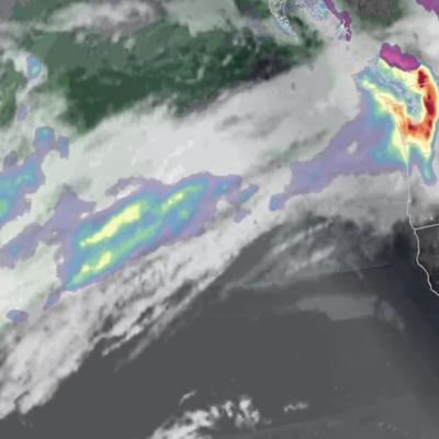
GPM Sees Fourth Nor'easter of 2018

More than 90,000 customers were without power overnight after another major nor’easter — the fourth in three weeks — pummeled areas of the U.S. east coast with as much as 19 inches of snow on the first full day of spring. GPM collected this precipitation data as it flew over the storm the evening of Wednesday March 21st, 2018 at 6:04pm ET.

Tropical Cyclone Eliakim's Deadly Rainfall

Tropical cyclone ELIAKIMS's heavy rainfall caused flooding and landslides over eastern Madagascar that resulted in at least seven deaths. ELIAKIM came less than two weeks after another tropical cyclone called Dumazile passed close to Madagascar. ELIAKIM maintained but didn't exceed tropical storm intensity as it battered Madagascar. ELIAKIM's slower movement as it passed over the island nation caused continuous heavy rainfall over northeastern Madagascar. Tropical cyclone ELIAKIM has now moved back into the Indian Ocean and is moving toward the southeast and away from Madagascar. This rainfall