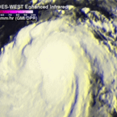
Weakening Hurricane Guillermo Nears Hawaiian Islands
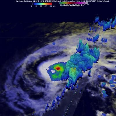
Hurricane Guillermo was a category one hurricane with wind speeds of about 75 kts (86 mph) when the GPM core observatory satellite flew over on Sunday August 2, 2015 at 1901 UTC. Rainfall was measured by GPM's Microwave Imager (GMI) and Dual-Frequency Precipitation Radar (DPR) instruments falling at a rate of over 61 mm (2.4 inches) per hour northeast of Guillermo's eye. GPM's DPR found rain falling at a rate of over 91 mm (3.6 inches) per hour in a feeder band spiraling into Guillermo from the southeast. GPM radar reflectivity data (Ku band) were used to show a 3-D cross section through the