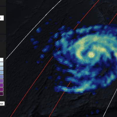
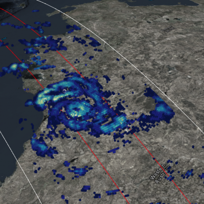
GPM Views Typhoon Maria's Eyewall
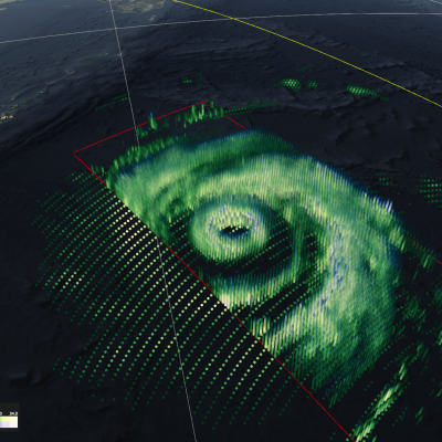
On the morning of 7/9/18 the GPM Core Observatory satellite flew over powerful Typhoon Maria, observing a donut-shaped eyewall that is somewhat disconnected from the rest of the storm. Maria is likely to impact southern Ryukyu Islands before making landfall in Eastern China in the next couple days.