Louisiana

NASA/JAXA GPM Satellite Eyes Hurricane Ida Shortly Before Landfall
Hurricane Ida struck southeast Louisiana as a powerful Category 4 storm on Sunday, Aug. 29, 2021 - the 16th anniversary of Hurricane Katrina’s landfall in 2005. Ida brought destructive storm surge, high winds, and heavy rainfall to the region, and left over 1 million homes and businesses without power, including the entire city of New Orleans. The NASA / JAXA GPM Core Observatory satellite flew over the eye of Ida shortly before landfall at 10:13 a.m. CDT (1513 UTC), capturing data on the structure and intensity of precipitation within the storm. This animation shows NASA's IMERG multi
GPM Overpass of Hurricane Zeta on 10/28/20
As Hurricane Zeta moves towards landfall on the U.S. Gulf Coast, NASA has eyes on the storm with an array of Earth-observing instruments and stands ready to aid affected communities with critical data and analysis. Zeta is following a path similar to Hurricane Delta, which after crossing the Yucatan Peninsula made its way across the Gulf of Mexico and struck the Louisiana coast as a Category 2 hurricane on October 9. If Zeta makes landfall as expected along the northern Gulf Coast, it will become the 7th named storm to do so in this record-breaking season, following Tropical Storm Cristobal
IMERG Rainfall Totals from Hurricanes Marco and Laura
The northern Gulf Coast, specifically Louisiana, saw two tropical cyclones make landfall in the same week just days apart. The two systems, however, could not have been more different when they arrived. Despite forming a day later, Marco was the first system to make landfall on the Gulf Coast. Marco originated from a tropical easterly wave that was moving from the central to the western Caribbean. After becoming a tropical depression (TD) on the 20th of August, TD #14 turned northwestward the following day as it approached the coast of Central America and moved into the northwest Caribbean
GPM Overpass of Hurricane Laura 8/27/20
After crossing western Cuba, Tropical Storm Laura emerged into the Gulf of Mexico where warm water, low wind shear and a moist environment made conditions ideal for intensification. As it made its way through the Gulf of Mexico Laura strengthened - from a category 1 hurricane with sustained winds of 75 mph on the morning of Tuesday August 25th, to a powerful category 4 storm, with sustained winds of 150 mph on the evening of Wednesday August 26th - an increase of 75 mph in just 36 hours. At this point Laura was nearing the coast of western Louisiana, and made landfall near Cameron, Louisiana
GPM Overpass of Hurricane Laura 8/26/20 10:00pm CT
Hurricane Laura began as a tropical depression on August 21st near the U.S. Virgin Islands, and over the next several days rapidly intensified to a dangerous category 4 hurricane at it moved towards the U.S. Gulf Coast. Laura made landfall as strong category 4 hurricane near Cameron, Louisiana shortly after midnight on August 27, 2020, bringing extreme rainfall, storm surge, and winds up to 150 mph. The NASA / JAXA GPM Core Observatory satellite flew over Hurricane Laura shortly before it made landfall at 10:00pm CT on Wednesday, August 26th, then again at 7:42am CT on Thursday, August 27th

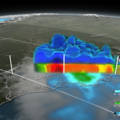
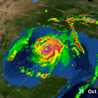
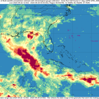
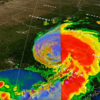
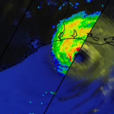
GPM Gets a Closer Look at Louisiana Floods

Submitted by JacobAdmin on Thu, 09/29/2016
Video Embed

This visualization begins with an overview of the United States showing the clouds and rainfall accumulation of the massive rain event over Louisiana beginning on August 11th, 2016 through August 13th, 2016. The camera then begins to zoom in as time resets to August 11th. Time then slows way down on August 12th to show the first of GPM's passes. In this close up of GPM's volumetric DPR data over Louisiana, a cutting plane materializes into view to show the inner structure of this giant storm system.

GPM Provides a Closer Look at the Louisiana Floods
Twice on August 12, 2016 GPM flew over a massive rainstorm that flooded large portions of Louisiana. The flooding was some of the worst ever in the state, resulting in a state of emergency. Tens of thousands of people were evacuated from their homes in the wake of this unprecedented event. Throughout the course of August 12 (UTC) GPM captured the internal structure of the storm twice and GPM IMERG measured the rainfall accumulation on the ground. NASA's GPM satellite is designed to measure rainfall using both passive microwave (GMI) and radar (DPR) instruments. DPR can observe 3D structures of...

Torrential Rain Over South Measured From Space

Extremely heavy rain fell over the southern United States during the past week. A slow moving area of low pressure pumped moisture from the Gulf Of Mexico causing torrential rain that resulted in wide spread flooding in states from Texas to Tennessee. Over 24 inches of rain was reported in Monroe, Louisiana. Over 4,958 homes in Louisiana were reportedly damaged by the flooding. Strong winds accompanying intense thunderstorms also toppled trees in Mississippi and Louisiana. A simulated 3-D animation of NASA merged satellite rainfall analysis (TMPA) using data collected from March 7-14, 2016

TRMM Sees Tornado Spawning Thunderstorms

In the United States tornadoes develop most often in the spring when warm moist unstable air accompanies strong fronts and fluctuating upper-air systems. There is a also a slight increase in tornado activity in late October and November. Tornadoes form least often in December and January so the tornadoes that occurred yesterday over the south-eastern United States were unusual. The TRMM satellite was flying over on December 10, 2012 at 1743 UTC (12:43 PM EST) and captured data showing tornado spawning thunderstorms within a frontal system moving through Louisiana, Mississippi, Alabama, Georgia