Ormand Shelf, by Jason Weingart
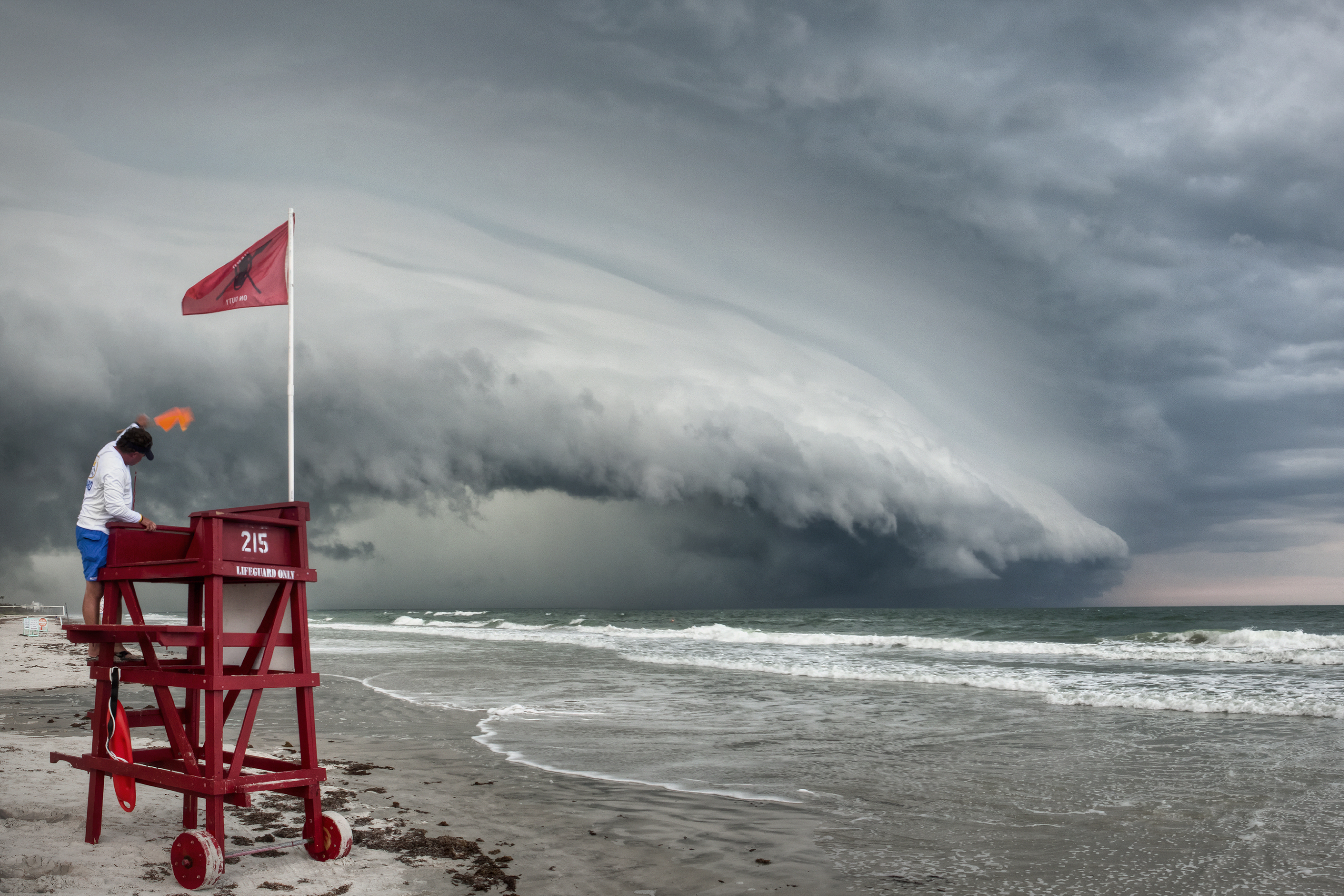
Date and Location:
May 15, 2012
Ormond Beach, Florida
Multimedia content
Date and Location:
May 15, 2012
Ormond Beach, Florida
On August 28, 2011, Tropical Storm Irene hit Vermont, causing widespread damage and the worst flooding in 75 years. Irene's impact in New England shows that tropical cyclones can greatly affect regions outside the view of TRMM. The Global Precipitation Measurement (GPM) mission will build upon TRMM's legacy by examining a larger swath of Earth with more sensitive instruments.
Nine U.S. and international satellites will soon be united by the Global Precipitation Measurement (GPM) mission, a partnership co-led by NASA and the Japan Aerospace Exploration Agency (JAXA). NASA and JAXA will provide the GPM Core satellite to serve as a reference for precipitation measurements made by this constellation of satellites, which will be combined into a single global dataset continually refreshed every three hours.
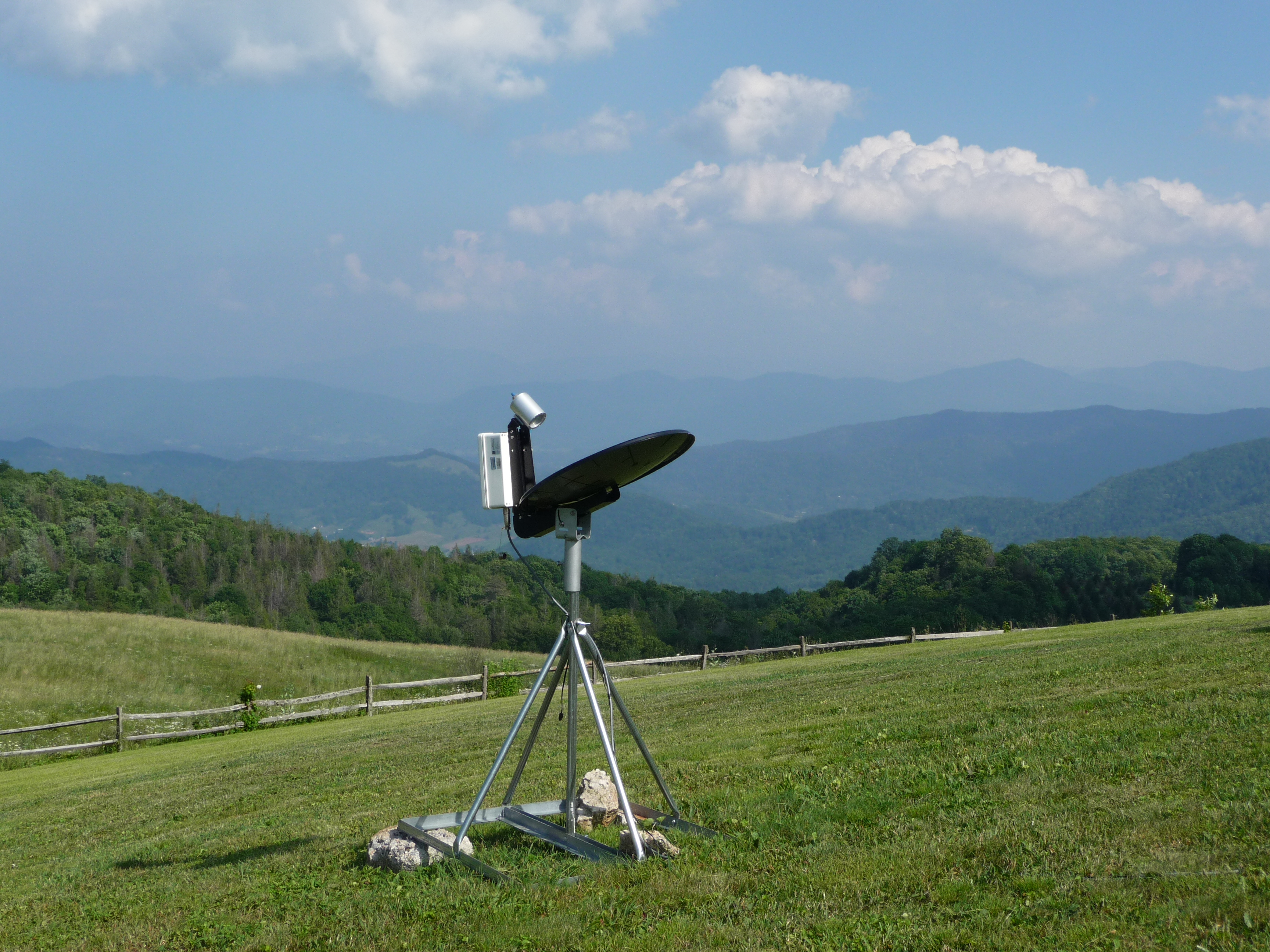
This instrument is a vertical profiler radar that delivers information about structure in the atmospheric column and enables scientists to estimate the vertical distribution of rainfall. At all times of the day, light rainfall is the dominant type of precipitation.
Light rainfall is the most reliable and most frequent form of rainfall in the region, contributing 50 to 60 percent of the total precipitation over a year. Light rain is no less than the lifeline of freshwater resources for the landscape’s ecosystems.
Learn more about the GPM Dual-frequency Precipitation Radar (DPR)
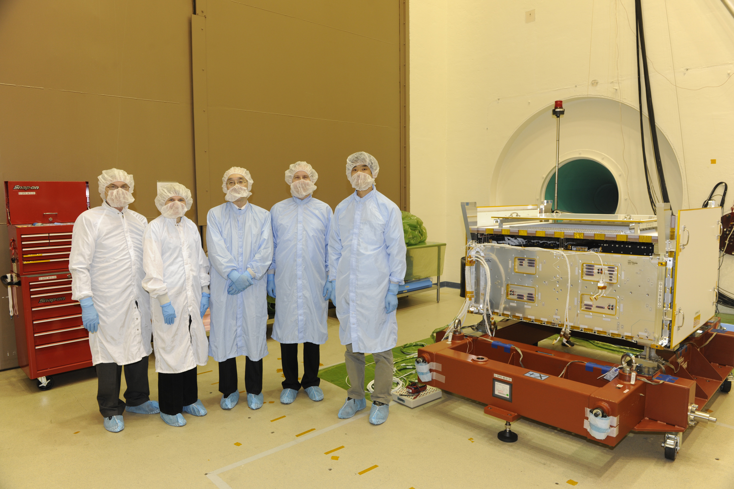
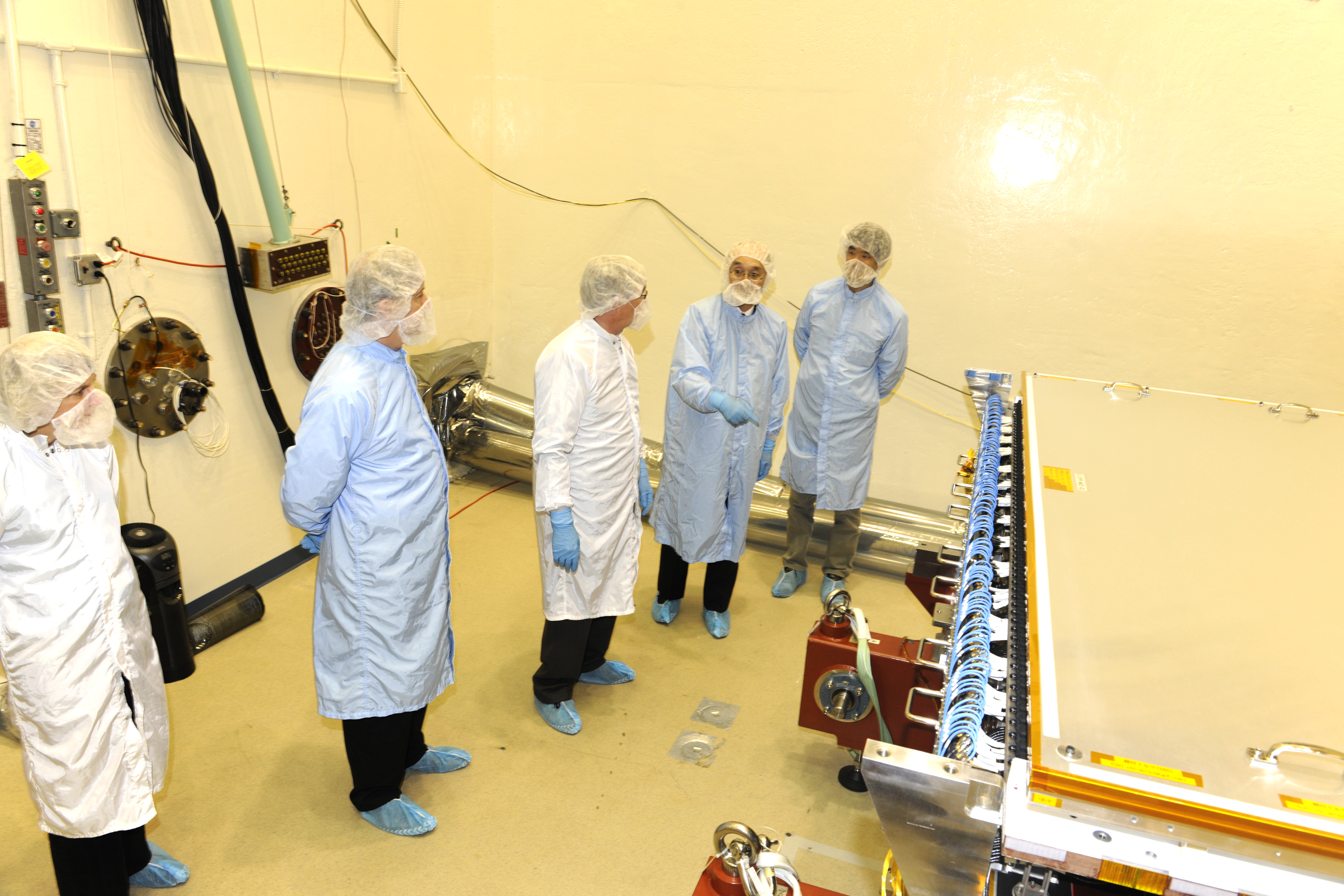
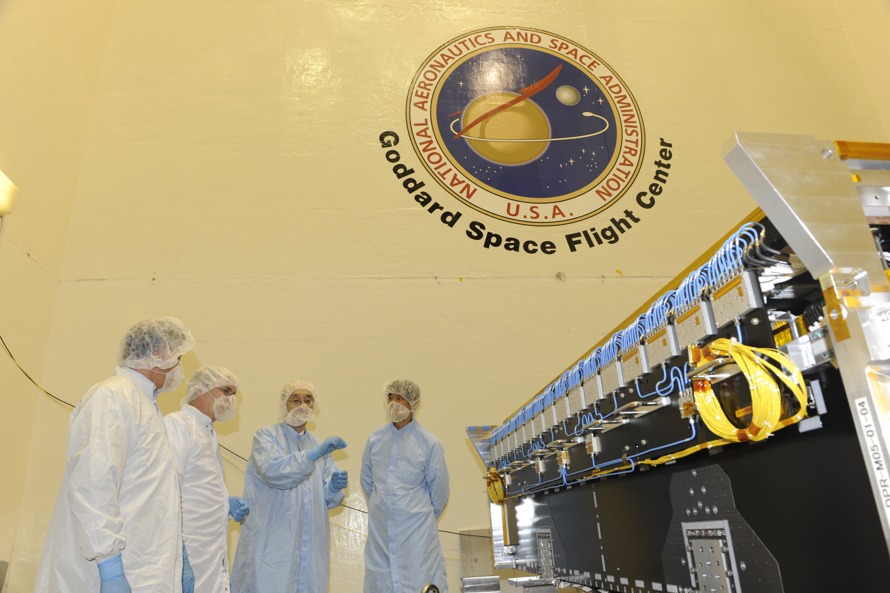
Left to right: Peter Hildebrand (NASA), Masahiro Kojima (JAXA) and Takeshi Miura (JAXA) in the clean room with the DPR.
Learn more about the GPM Dual-frequency Precipitation Radar (DPR)
From left to right: