CoCoRaHS Rain Gauge Before a Storm
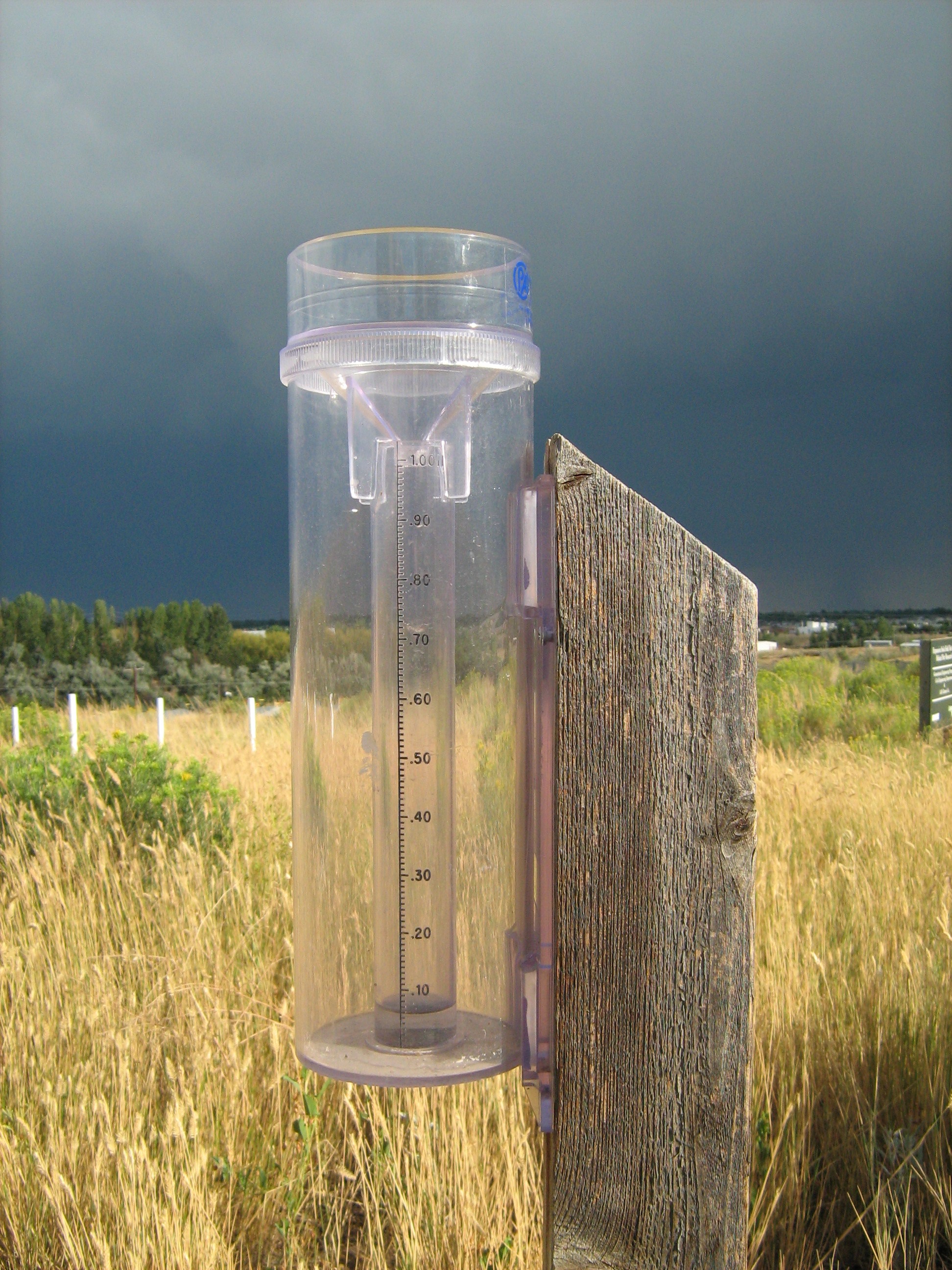
The citizen science non- profit group Community Collaborative Rain, Hail and Snow Network (CoCoRaHS) involves the public in collecting local precipitation to share on the CoCoRaHS interactive network.
Multimedia content

The citizen science non- profit group Community Collaborative Rain, Hail and Snow Network (CoCoRaHS) involves the public in collecting local precipitation to share on the CoCoRaHS interactive network.
This animation shows the launch and deployment of the GPM Core Observatory. GPM is scheduled to launch in 2014 on an H-IIA rocket in Japan.
Alan Stahler of community radio KVMR in Nevada City, California interviews NASA Goddard's Owen Kelley about hurricane physics, how TRMM measures precipitation, and the TRMM overflight of Hurricane Sandy one day before landfall. The 38-minute-long interview aired on the anniversary of the TRMM satellite's launch.
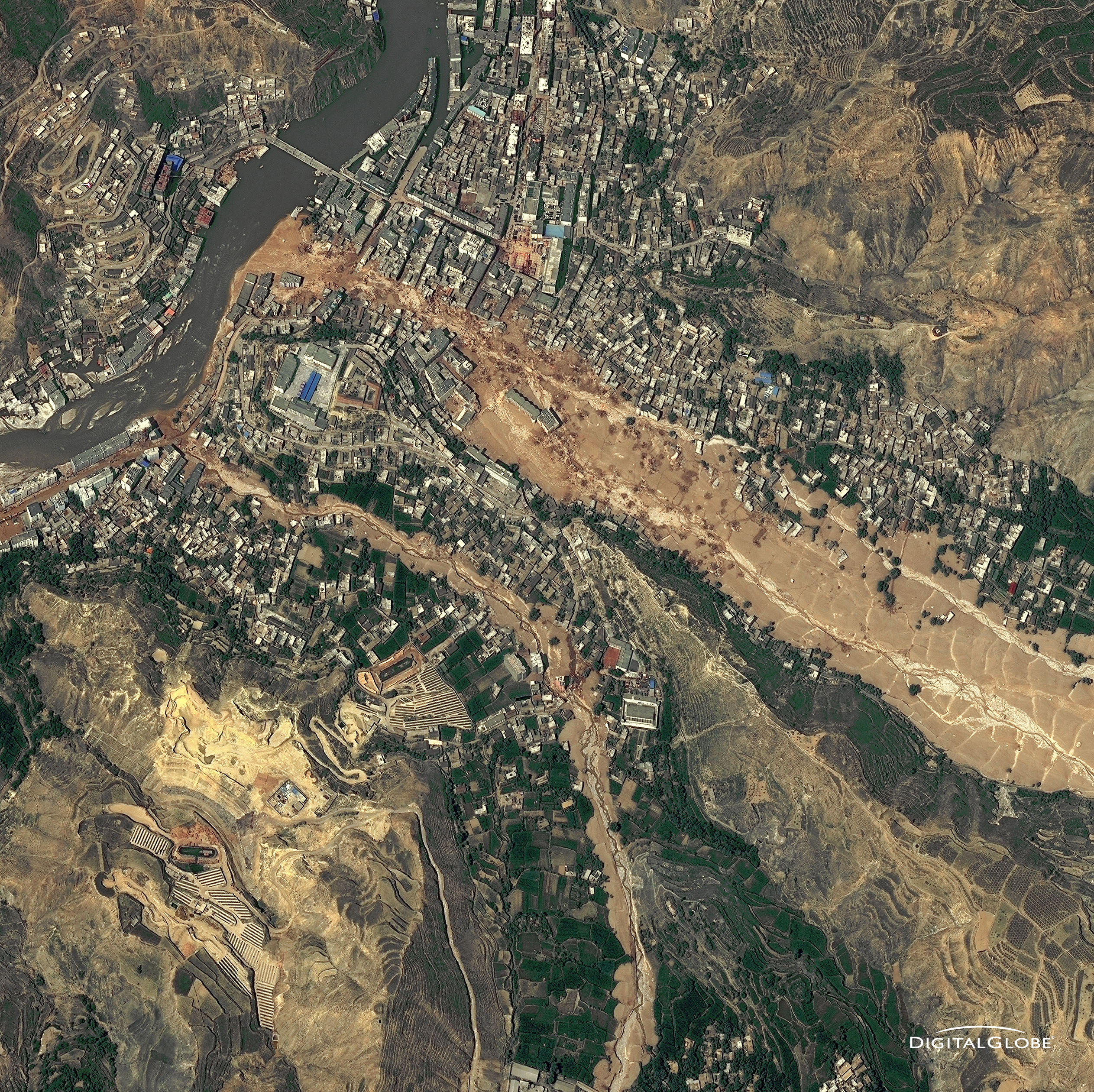
The catastrophic mudslides—the deadliest in decades according to state media—buried some areas under as much as 23 feet (7 meters) of suffocating sludge. 1,765 people died. Property damages totaled an estimated $759 million. Cutting from right to left, this detailed image, from DigitalGlobe’s WorldView-2 satellite, shows the largest slide in the lower part of the city on August 10, 2010.
Image Credit: Digital Globe, DigitalGlobe usage policy
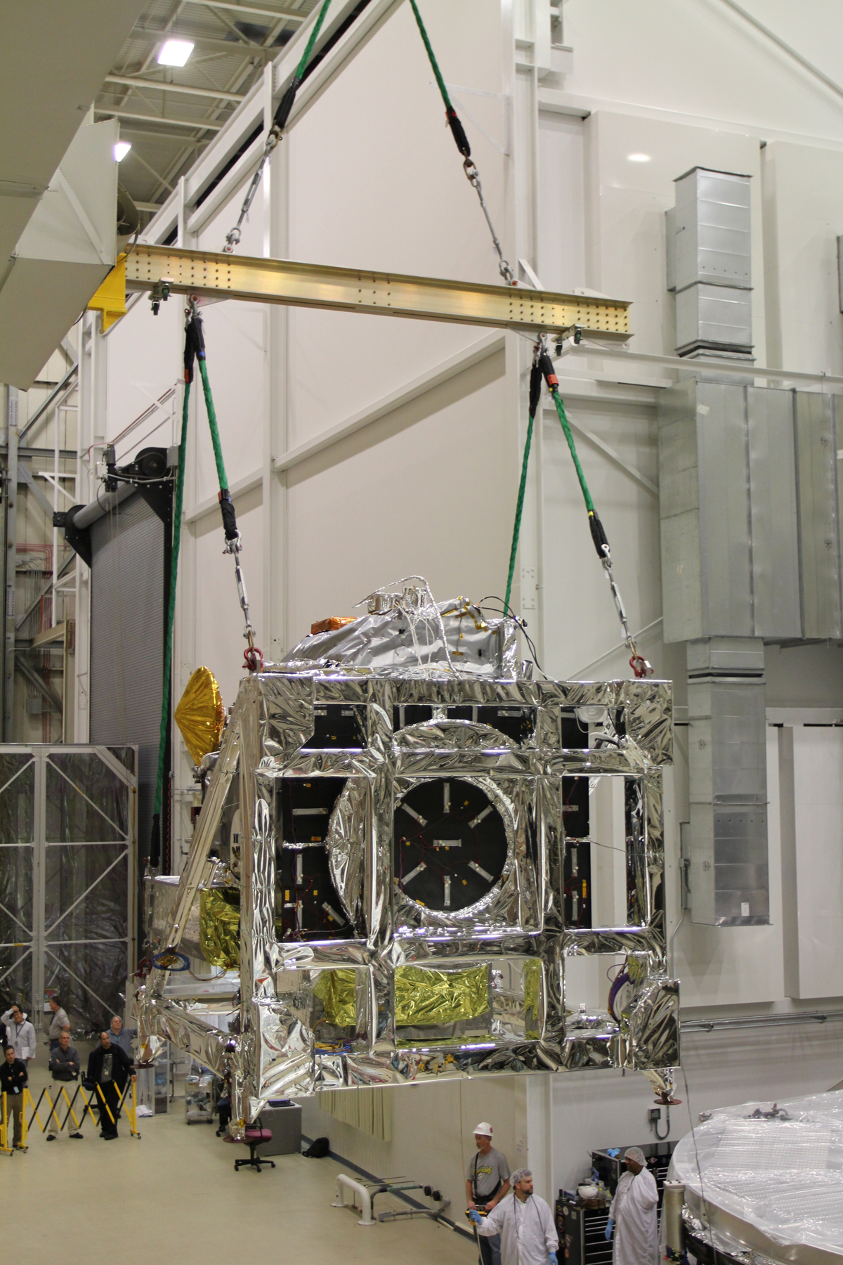
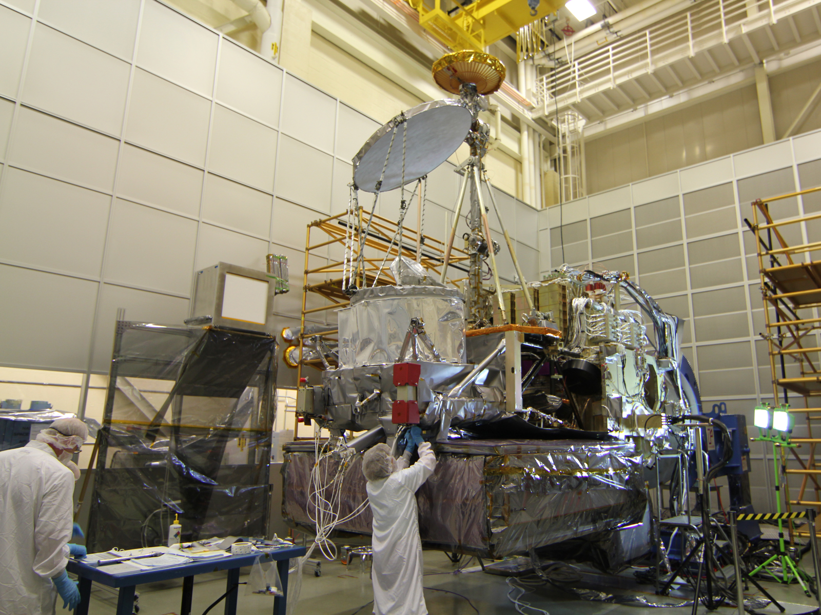
The silver disc and drum (center) is the GPM Microwave Imager, and the large block on the base is the Dual-frequency Precipitation Radar. The tall golden antenna is the High Gain Antenna for communications.

Date and Location:
May 30, 2012
Kechi, Kansas
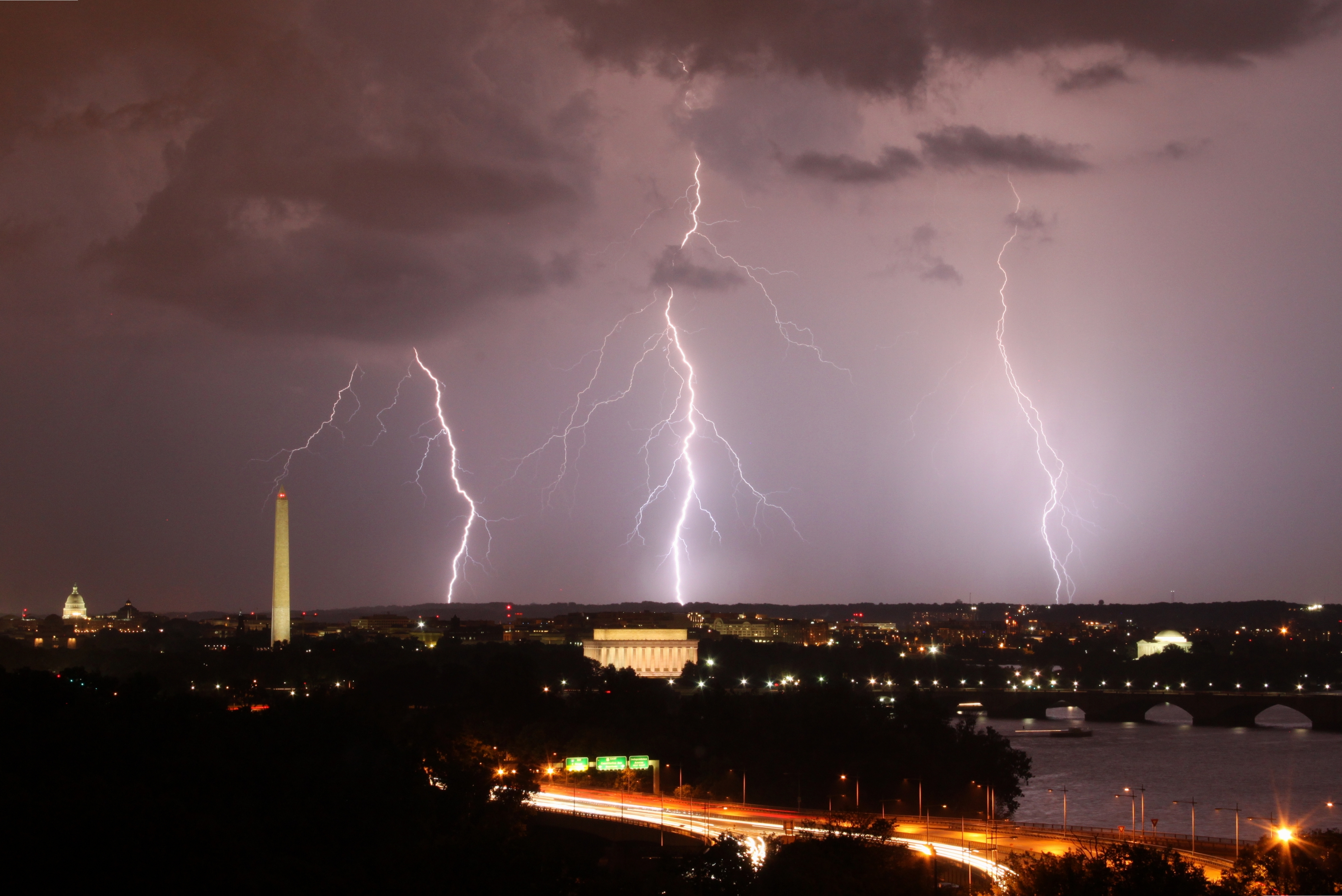
Date and Location:
September 1, 2012
Arlington, Virginia, looking towards Washington DC
How this Photo was Taken:
“This photo was taken on September 1, 2012 in Rosslyn, Arlington, VA, US, using a Canon EOS REBEL T1i camera.
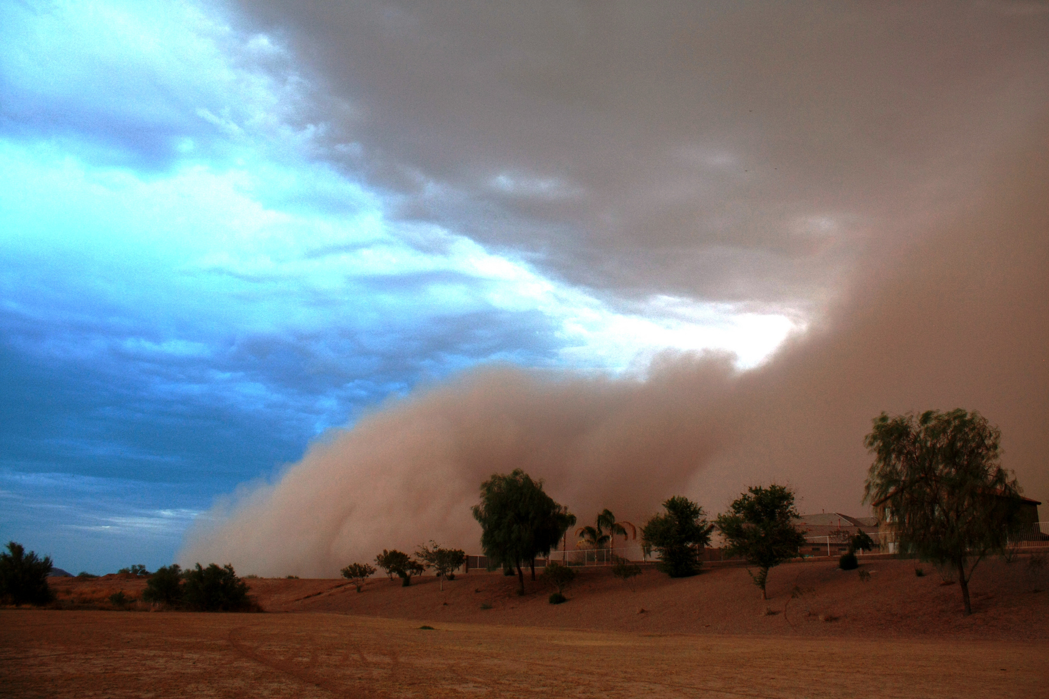
Date and Location:
July 5, 2011
Maricopa, Arizona
How this Photo was Taken:
“This photo was taken in a wash that runs through my neighborhood in Maricopa, AZ. The wash runs north/south through the neighborhood and the haboob (type of intense dust storm) was rolling in from the east.
It was taken on 7/5/11 in the afternoon, not long before sunset.
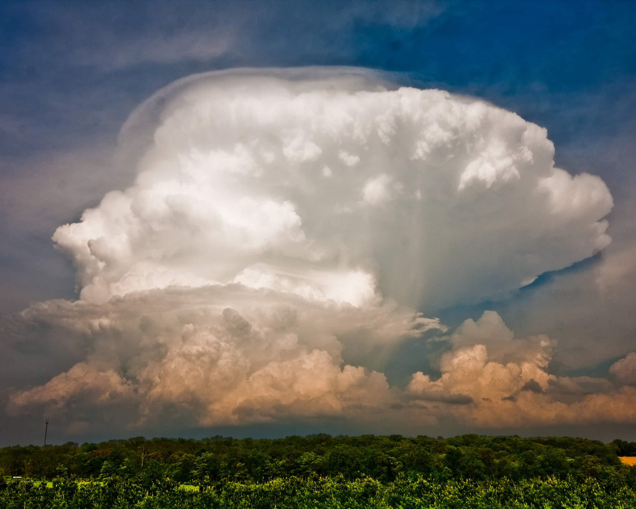
Date and Location:
May 22, 2011
Dane County, Wisconsin
How this Photo was Taken:
“I was out on a farm with a photography club for the purpose of photographing farm life -- animals, barns, etc. I saw this impressive thunderstorm building several miles to the east of where we were and ended up focusing on that while the others in the group continued to follow the goats and horses around. This is one of many examples of how a completely unplanned photo wound up being among my best photos.