Extreme Flooding in Louisiana from Hurricane Katrina
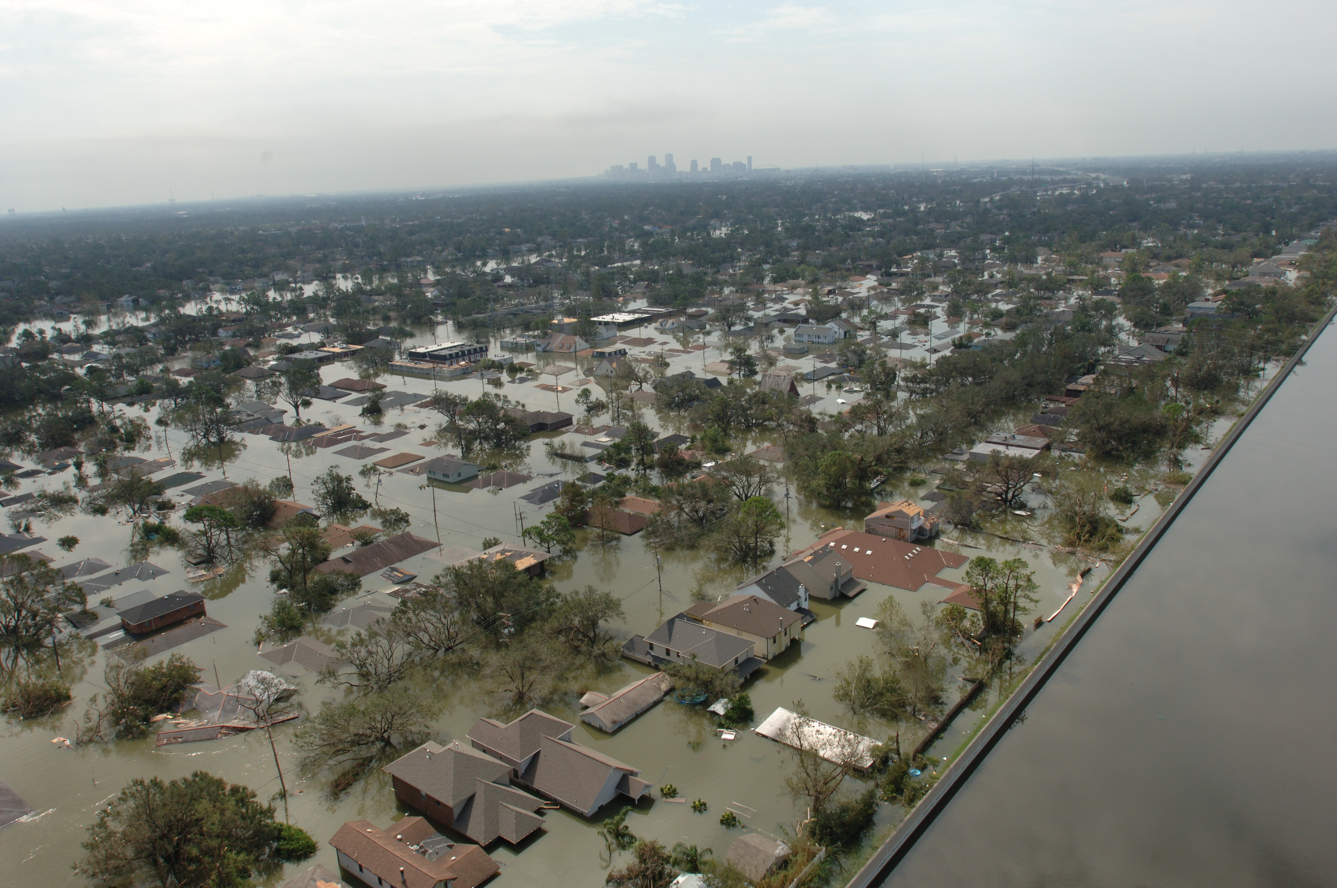
Photo taken August 30th, 2005 by Jocelyn Augustino
Content which is not specifically affiliated with GPM or TRMM, but which is about the Precipitation Measurement Missions in general.

Photo taken August 30th, 2005 by Jocelyn Augustino
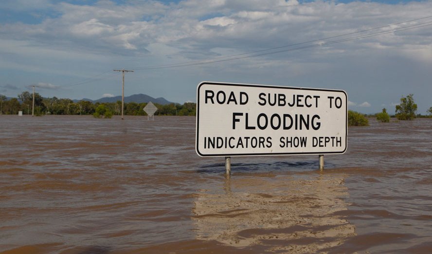
A flooding sign is seen partially submerged in floodwaters in Rockhampton, Queensland, January 4, 2011.
Image Source: REUTERS / Daniel Munoz
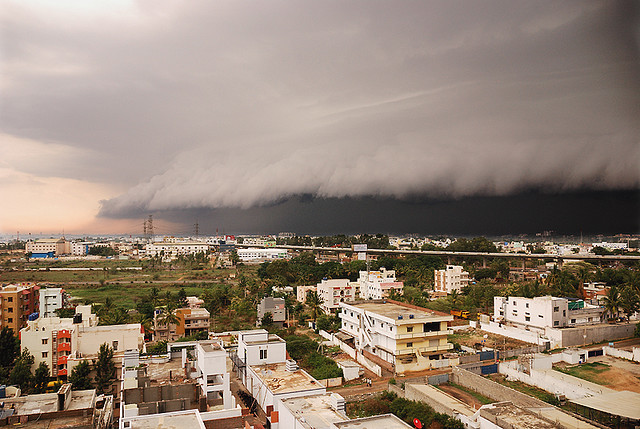
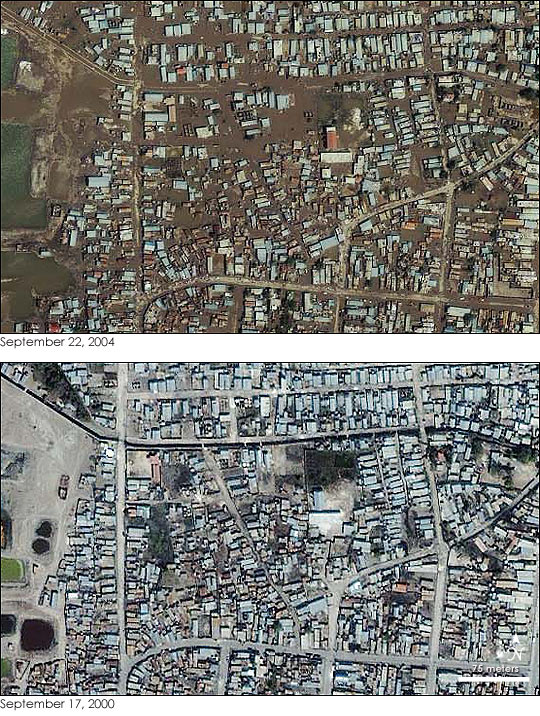
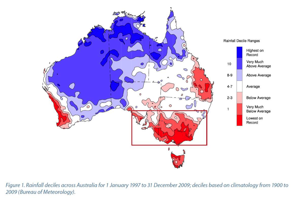
http://www.seaci.org/, page 6., Synthesis Report from Phase 1 of South Eastern Australian Climate Initiative (SEACI)
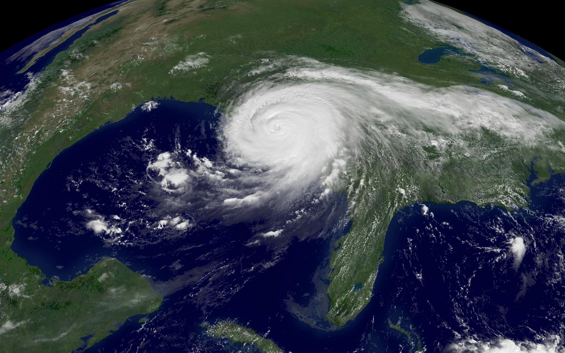
A GOES-12 1 km visible image of Hurricane Katrina. At landfall, the storm was a Category 3 hurricane.
Original Source: http://www.nnvl.noaa.gov
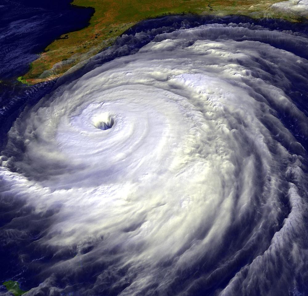
Data from the NOAA GOES satellite. Images produced by Hal Pierce. Original source: http://rsd.gsfc.nasa.gov/rsd/images/Floyd.html