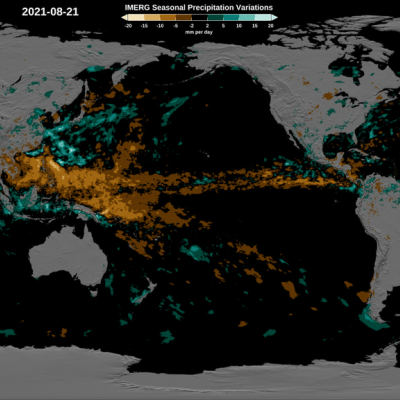
GPM Sees Hurricane Matthew Producing Dangerous Rainfall

The GPM core observatory satellite passed above hurricane Matthew on October 2, 2016 at 5:46 AM EDT (0946 UTC). GPM’s Microwave Imager (GMI) and Dual-Frequency Precipitation Radar (DPR) instruments collected data that were used in the rainfall map shown here. GPM found that very heavy rainfall was located around Matthew. Rain was revealed by GPM falling at a rate of over 6.4 inches (163 mm) in some areas near hurricane Matthew. Of particular interest is an area of very heavy rain located well to the east of Hurricane Matthew’s center. This blob of strong convective storms has been persistent

Intensifying Typhoon Chaba Examined By GPM

As Typhoon Chaba moved to the western Pacific Ocean south of Okinawa over the past few days wind speeds have increased to 115 kts (132 mph).The GPM core observatory satellite flew directly above Chaba’s eye on October 2, 2016 at 2026 UTC. GPM’s Microwave Imager (GMI) and Dual-Frequency Precipitation Radar (DPR) instruments showed that Chaba was dropping extremely heavy precipitation. Some precipitation in the typhoon’s small eye wall was measured by GPM’s radar falling at a rate of more than 234 mm (9,2 inches) per hour. GPM’s Radar (DPR Ku Band) data were used to show the 3-D shape of

GPM Finds Intense Rainfall In Matthew Rainband

Matthew rapidly intensified Thursday evening and winds increased to 100 kts (115 mph) by Friday September 30, 2016. The GPM core observatory satellite flew over Hurricane Matthew on September 20, 2016 at 0946Z (5:46 AM EDT). A rainfall analysis from GPM's Microwave Imager (GMI) and Dual-Frequency Precipitation Radar (DPR) showed that the Matthew had heavy rainfall in the northern side of the newly formed eye wall. GPM’s radar area of coverage (shown in a higher shade) included a very intense feeder band on the southeastern side of the hurricane. DPR measured rain falling at a rate of greater

Tropical Storm Matthew Forms Over the Windward Isles, Enters the Caribbean

A fairly strong tropical wave that had been making its way westward across the Central Atlantic over the past several days has now finally organized itself into a tropical storm, Tropical Storm Matthew, the 13th named storm of the season, while passing through the Windward Islands. The storm is poised to intensify as it enters the eastern Caribbean. The tropical wave leading to Matthew's formation emerged off of the coast of Africa back on the 23rd of September. However, despite having a robust level of convective thunderstorm activity, the wave did not acquire a closed low-level circulation

GPM Gets a Closer Look at Louisiana Floods

Submitted by JacobAdmin on
Video Embed

This visualization begins with an overview of the United States showing the clouds and rainfall accumulation of the massive rain event over Louisiana beginning on August 11th, 2016 through August 13th, 2016. The camera then begins to zoom in as time resets to August 11th. Time then slows way down on August 12th to show the first of GPM's passes. In this close up of GPM's volumetric DPR data over Louisiana, a cutting plane materializes into view to show the inner structure of this giant storm system.