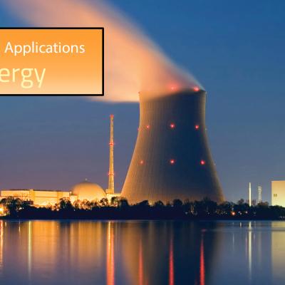
Hilary And Irwin Interaction Shown

Tropical cyclone development in the eastern Pacific Ocean has been occurring at a slightly above normal pace this year. Hurricanes Hilary and Irwin were the two most recently named tropical cyclones to form in this area. These two were a little unusual because they traveled so close to each other that an interaction occurred that radically changed the direction and speed of tropical storm Irwin's movement. The Fujiwara effect happens when cyclones move close of one another. Their centers will sometimes begin orbiting cyclonically (in the northern hemisphere) about a point between the two

Replacement GPM Ka/Ku L1B products (2017-07-29) for orbit 19406

PPS received new GPM Ka/Ku L1B products from JAXA and reprocessed the affected data including Level 2 and 3 daily products from 2017-07-29 00:34:47 -> 2017-07-29 02:07:20. If you have obtained any of these files from our archive or through a Standing Order, etc., please discard these and use the replacement products. The following files and corresponding browse products will be replaced GPMCOR_KAR_1707290034_0207_019406_1BS_DAB_05A.h5 GPMCOR_KUR_1707290034_0207_019406_1BS_DUB_05A.h5 2A.GPM.Ka.V7-20170308.20170729-S003447-E020720.019406.V05A.HDF5 2A.GPM.Ku.V7-20170308.20170729-S003447-E020720

GPM Catches a Look at a Rare Tornadic Storm Near the Chesapeake Bay

Tornadic storms in Maryland are rare to begin with, let alone in the middle of the night. However, about an hour after midnight in the early morning hours of Monday April 24th at around 1:00 am local time, a severe thunderstorm, which was located at the southern end of a mass of storms and which had just dumped heavy rains over the Washington, DC area, began to cross the Chesapeake Bay near Annapolis, Maryland heading eastward. It is quite common for storms to weaken as they cross the cooler waters of the Bay, but water temperatures are now rather warm, over 80F, which allowed the storm to

GPM Views Dissipating Hurricane Fernanda

The GPM core observatory satellite had another exceptional view of hurricane Fernanda when it flew over on July 20, 2017 at 0101 UTC. GPM saw a much different hurricane than it viewed a couple days earlier. GPM's Microwave Imager (GMI) and Dual-Frequency Precipitation Radar (DPR) radar instruments found that the dissipating hurricane only contained heavy rainfall in it's northwestern quadrant. Cooler water, dry air, and southwesterly vertical wind shear had caused Fernanda to weaken. GPM's Radar revealed that powerful convective storms in that part of the dissipating hurricane were still

GPM Examines Hurricane Fernanda's Eye

The GPM core observatory satellite had an excellent view of hurricane Fernanda on July 18, 2017 at 0110 UTC. Hurricane Fernanda had weakened from it's peak wind speed of 125 kts (143.75 mph) attained on July 15, 2017 but still had maximum sustained wind speeds of about 95 kts (109 mph). This meant that Fernanda was still a powerful category two hurricane on the Saffir-Simpson hurricane wind scale. GPM's Microwave Imager (GMI) and Dual-Frequency Precipitation Radar (DPR) data showed the location of intense rainfall circling around Fernanda's eye. Measurements by GPM's Radar (DPR Ku band) showed