Joalane

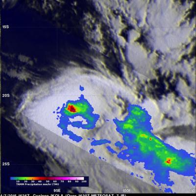
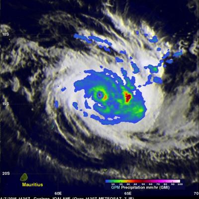
GPM Sees Remnants of Joalane

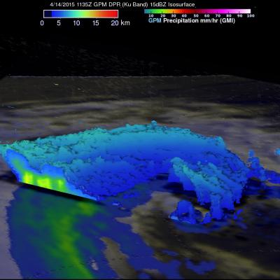
The GPM core observatory satellite had a last look at the remnants of Cyclone Joalane in the South Indian Ocean on April 14, 2015 at 1135 UTC (about 16:35 Local Time). GPM's Microwave Imager (GMI) instrument found very little rainfall around Joalane's center but light to moderate rainfall in bands on the outer edges of the rapidly weakening tropical cyclone.

TRMM Measures Rainfall In Ikola And Joalane

Since being launched in November 1997 the TRMM satellite produced huge volumes of precise precipitation measurements for use in climatology . Near real time collection of data also provided valuable information such as rainfall distribution, three dimensional structure and the stages of development for tropical cyclones. The TRMM satellite saw two tropical cyclones with successive orbits over the the South Indian Ocean on Tuesday April 7, 2015. Cyclone Ikola was the first to come into view when TRMM passed over at 1646 UTC and then the satellite had a good look at cyclone Joalane at 1755 UTC

GPM Looks Into Cyclone Joalane's Eye

Cyclone Joalane had developed a small clear eye when the GPM core observatory satellite passed above on April 7, 2015 at 1436 UTC. GPM's Microwave Imager (GMI) data showed that the heaviest rain was falling at a rate of over 78.6 mm (3 inches) per hour in a feeder band wrapping around Joalane's eastern side. This simulated 3-D flyby around Joalane was made using data from the Ku band on GPM's dual frequency radar. Those radar data discovered that the intense thunderstorms, reaching heights above 16 km (9.9 miles), were located where the heaviest rainfall was measured by GPM's GMI.

GPM Measures Rain in Cyclone Joalane

Two powerful tropical cyclones called Ikola and Joalane are now moving through the South Indian Ocean. The GPM core observatory satellite flew over intensifying cyclone Joalane in the South Indian Ocean on April 6, 2015 at 0406 UTC. GPM's Microwave Imager(GMI) found that intense convective thunderstorms within Joalane were dropping rain at a rate of over 63 mm (2.5 inches) per hour. Cyclone Joalane was located northeast of Mauritius at the time of this GPM pass. A 3-D view of Joalane's vertical precipitation structure was constructed from GPM's Radar (Ku Band) data. This cross section shows