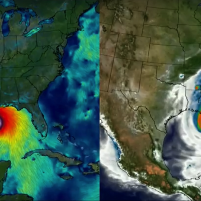
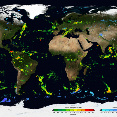
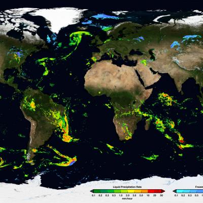
Data

GPM's First Global Rainfall and Snowfall Map
The Global Precipitation Measurement mission has produced its first global map of rainfall and snowfall. Like a lead violin tuning an orchestra, the GPM Core Observatory – launched one year ago on Feb. 27, 2014, as a collaboration between NASA and the Japan Aerospace Exploration Agency – acts as the standard to unify precipitation measurements from a network of 12 satellites. The result is NASA's Integrated Multi-satellite Retrievals for GPM data product, called IMERG, which combines all of these data from 12 satellites into a single, seamless map. The map covers more of the globe than any...
GPM's How-to Guide for Global Rain Maps
In a data-processing room at NASA’s Goddard Space Flight Center in Greenbelt, Maryland, racks of high-powered computers are making a set of maps. They're not the familiar satellite map of farms, forests and cities. Instead, the maps will show what's in the atmosphere above the ground -- falling rain and snow. The data come from the Global Precipitation Measurement mission, an international partnership led by NASA and the Japan Aerospace Exploration Agency. The GPM Core Observatory launched on Feb. 27, 2014, and after an initial check-out period, began its prime mission on May 29. The data...
GPM Data from a March 2014 Snostorm
Image Credit: NASA's Goddard Space Flight Center Download this video in HD formats from NASA Goddard's Scientific Visualization Studio The most accurate and comprehensive collection of rain, snowfall and other types of precipitation data ever assembled now is available to the public. This new resource for climate studies, weather forecasting, and other applications is based on observations by the Global Precipitation Measurement (GPM) Core Observatory, a joint mission of NASA and the Japan Aerospace Exploration Agency (JAXA), with contributions from a constellation of international partner...