Science

PMM Article iFloods Banner
By Ellen Gray, NASA Goddard Space Flight Center Original www.nasa.gov Feature (published 4/30/13) Ground data now being collected in northeastern Iowa by the Iowa Flood Studies experiment will evaluate how well NASA's Global Precipitation Measurement (GPM) mission satellite rainfall data can be used for flood forecasting. GPM is an international satellite mission that will set a new standard for precipitation measurements from space, providing worldwide estimates of precipitation approximately every three hours. The GPM Core Observatory, provided by NASA and mission partner the Japan Aerospace...
A misty mountaintop in The Smoky Mountains
By Lisa-Natalie Anjozian , NASA Goddard Space Flight Center Original 
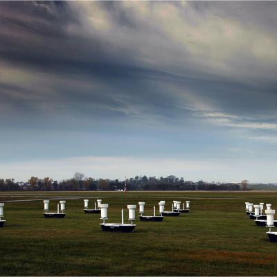
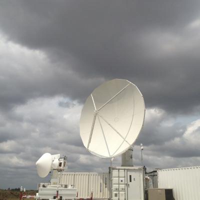
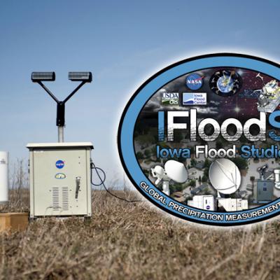
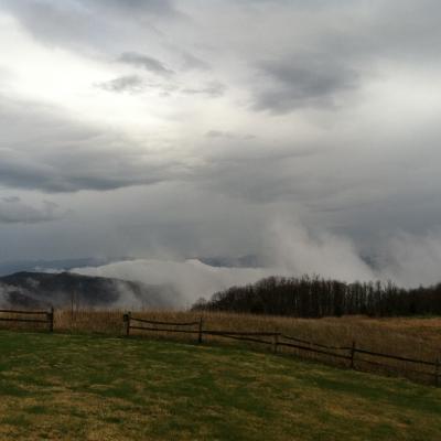
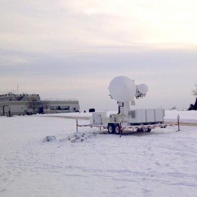
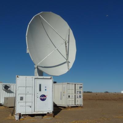
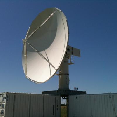
www.nasa.gov Press Release (published 4/24/12) If you walk into a cloud at the top of a mountain with a cup to slake your thirst, it might take a while for your cup to fill. The tiny, barely-there droplets are difficult to see, and for scientists they, along with rain and snow, are among the hardest variables to measure in Earth Science, says Ana Barros, professor of engineering at Duke University. As part of the Science Team for NASA's Precipitation Measurement Missions (PMM) that measure rainfall from space, Barros and her...
NASA's D3R radar at the GCPEx field campaign.
By Ellen Gray, NASA Goddard Space Flight Center Original www.nasa.gov Feature (published 1/31/12) Predicting the future is always a tricky business -- just watch a TV weather report. Weather forecasts have come a long way, but almost every season there's a snowstorm that seems to come out of nowhere, or one that's forecast as 'the big one' that turns out to be a total bust. In the last ten years, scientists have shown that it is possible to detect falling snow and measure surface snowpack information from the vantage point of space. But there remains much that is unknown about the fluffy white...
GCPEx logo on falling snow background
By Ellen Gray, NASA Goddard Space Flight Center Original www.nasa.gov Press Release (published 1/12/12) Beginning Jan. 17, NASA will fly an airborne science laboratory above Canadian snowstorms to tackle a difficult challenge facing the upcoming Global Precipitation Measurement (GPM) satellite mission -- measuring snowfall from space. GPM is an international satellite mission that will set a new standard for precipitation measurements from space, providing next-generation observations of worldwide rain and snow every three hours. It is also the first mission designed to detect falling snow...
GPM flying over Earth with a data swath visualized.
The NASA NPOL radar is a research grade S-band, scanning dual-polarimetric radar. The NPOL underwent a complete antenna system upgrade in 2010 and is one of two fully transportable research-grade S-band systems in the world. It is used to make accurate volumetric measurements of precipitation including rainfall rate, particle size distributions, water contents and precipitation type. Click here to view the latest NPOL data from the GPM Precipitation Science Research Facility at Wallops Flight Facility. Examples of NPOL-Generated Images
The NPOL instrument, a large radar dish attached to a trailer under a blue sky
To gain a better understanding of precipitation processes and to assess and refine the physical assumptions that go into the GPM algorithms, the ground validation team makes field measurements of specific parameters that describe the physical characteristics and variability of rainfall, including rainfall intensity, distribution, particle shape and precipitation type. Ground validation uses specific ground instrumentation infrastructure developed to observe, quantify and document the physical properties of precipitation. These instruments include: The NASA NPOL radar A research grade S-band...
GPM flying over Earth with a data swath visualized.
The Light Precipitation Evaluation Experiment (LPVEx) took place in the Gulf of Finland in September and October, 2010 and collected microphysical properties, associated remote sensing observations, and coordinated model simulations of high latitude precipitation systems to drive the evaluation and development of precipitation algorithms for current and future satellite platforms. In doing so, LPVEx sought to address the general lack of dedicated ground-validation datasets from the ongoing development of new or improved algorithms for detecting and quantifying high latitude rainfall...
The NPOL instrument, a large radar dish attached to a trailer under a blue sky
Mid-latitude Continental Convective Clouds Experiment The Midlatitude Continental Convective Clouds Experiment (MC3E) took place from April 22 – June 6, 2011, near Lamont, Oklahoma in the region surrounding the Department of Energy (DOE) Atmospheric Radiation Measurement (ARM) Program Southern Great Plains Central Facility. The experiment was a collaborative effort between the U.S. Department of Energy (DOE) Atmospheric Radiation Measurement (ARM) Climate Research Facility and the NASA's Global Precipitation Measurement (GPM) mission Ground Validation (GV) program. The MC3E ideal scenario...
DROP field campaign instruments
Looking ahead it is becoming apparent that the future of precipitation research is probably not one in which satellite data are used in isolation. Instead, integration of satellite precipitation measurements with ground observations, cloud resolving model s (CRMs) and land surface data assimilation systems (LDAS) is likely to replace satellite-only precipitation products, particularly for forecasting and hydrological applications that require precipitation as input. This is already apparent in the analyzed precipitation products over the continental US and similar activities in Japan. Hence...