Landslides
Faces of GPM: Dr. Dalia Kirschbaum, GPM Applications Scientist
Dr. Kirschbaum discusses her role with GPM, how she became a scientist, and how remotely sensed satellite data can be used to study and evaluate natural hazards such as landslides.
Video Text:
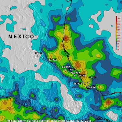
Tropical Storm Fernand Causes Deadly Mudslides
GPM: Too Much, Too Little
Researchers need accurate and timely rainfall information to better understand and model where and when severe floods, frequent landslides and devastating droughts may occur. GPM’s global rainfall data will help to better prepare and respond to a wide range of natural disasters.
Video Text:
Dalia: GPM will help us to understand precipitation extremes. And this is everything from too much rainfall, such as flooding in India or Southeast Asia, to too little rainfall such as drought in the U.S. Southwest.
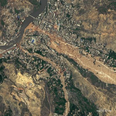
2010 Landslide in Gansu, China
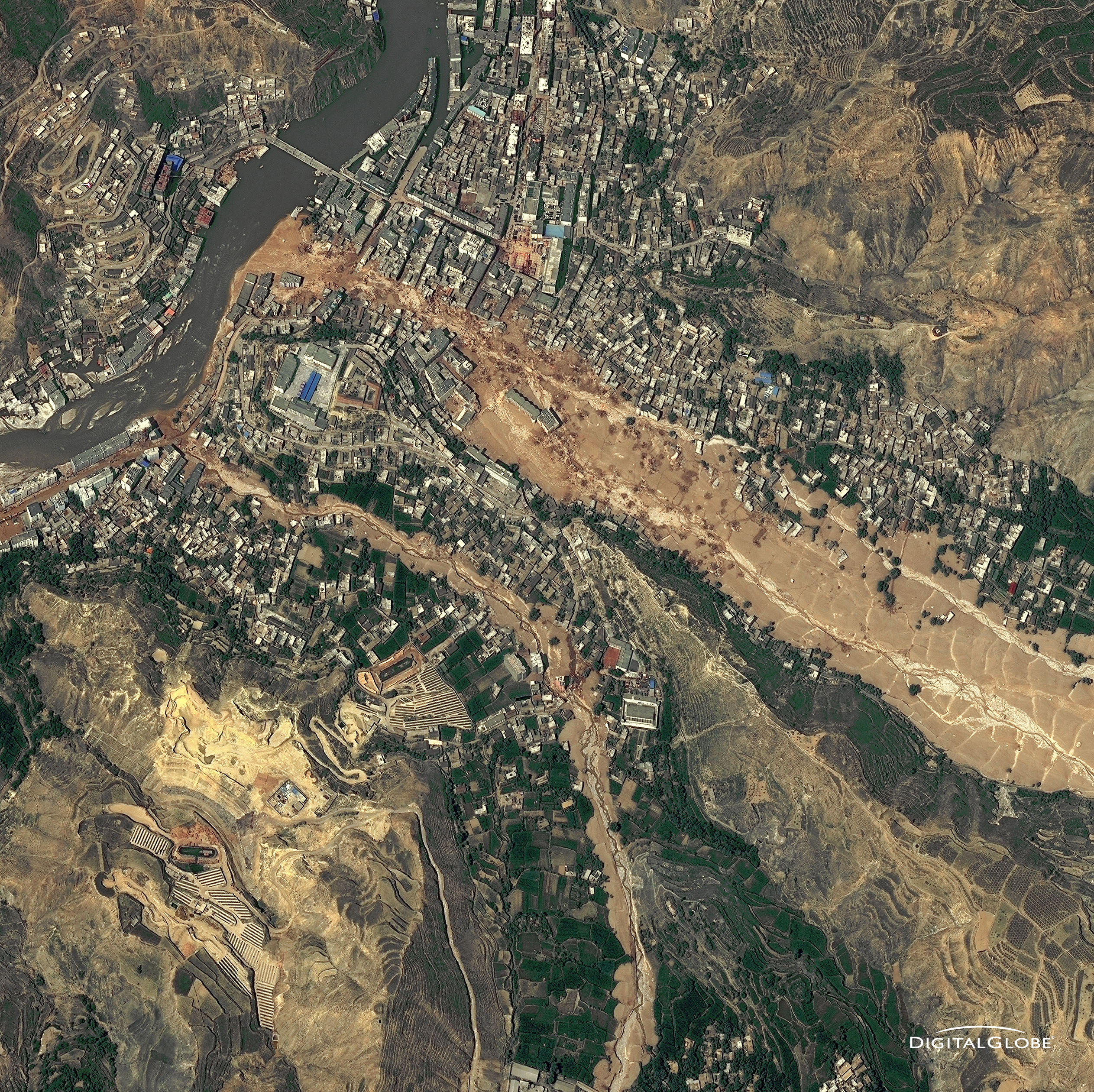
The catastrophic mudslides—the deadliest in decades according to state media—buried some areas under as much as 23 feet (7 meters) of suffocating sludge. 1,765 people died. Property damages totaled an estimated $759 million. Cutting from right to left, this detailed image, from DigitalGlobe’s WorldView-2 satellite, shows the largest slide in the lower part of the city on August 10, 2010.
Image Credit: Digital Globe, DigitalGlobe usage policy
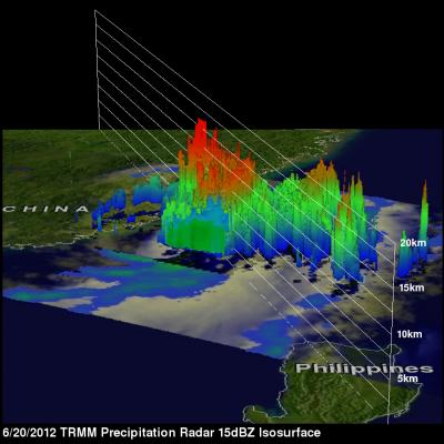
Tropical Storm Talim's Heavy Rainfall Over Taiwan
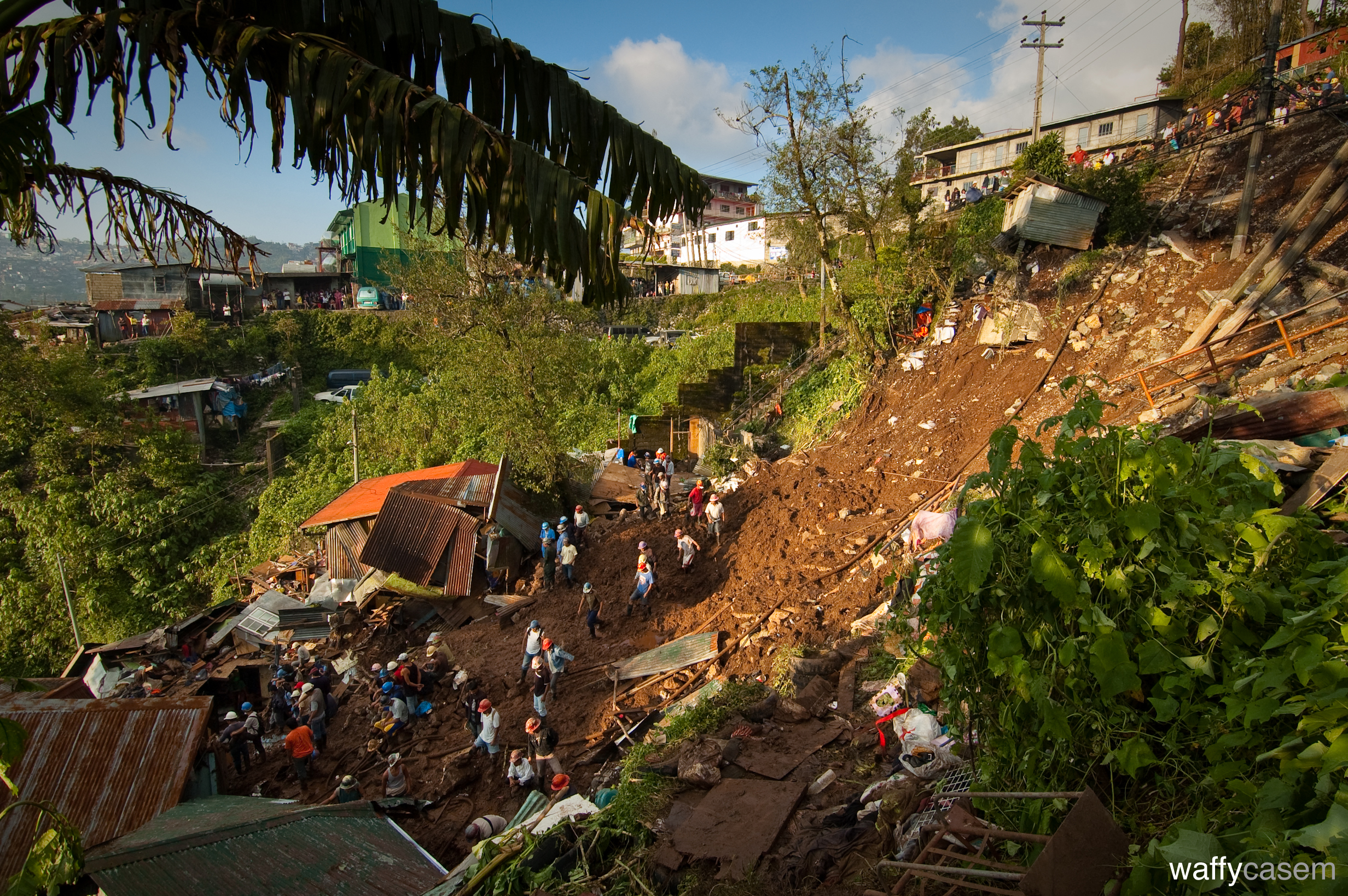
Landslides Caused by Typhoon Parma
Landslide in Colonia Las Colinas
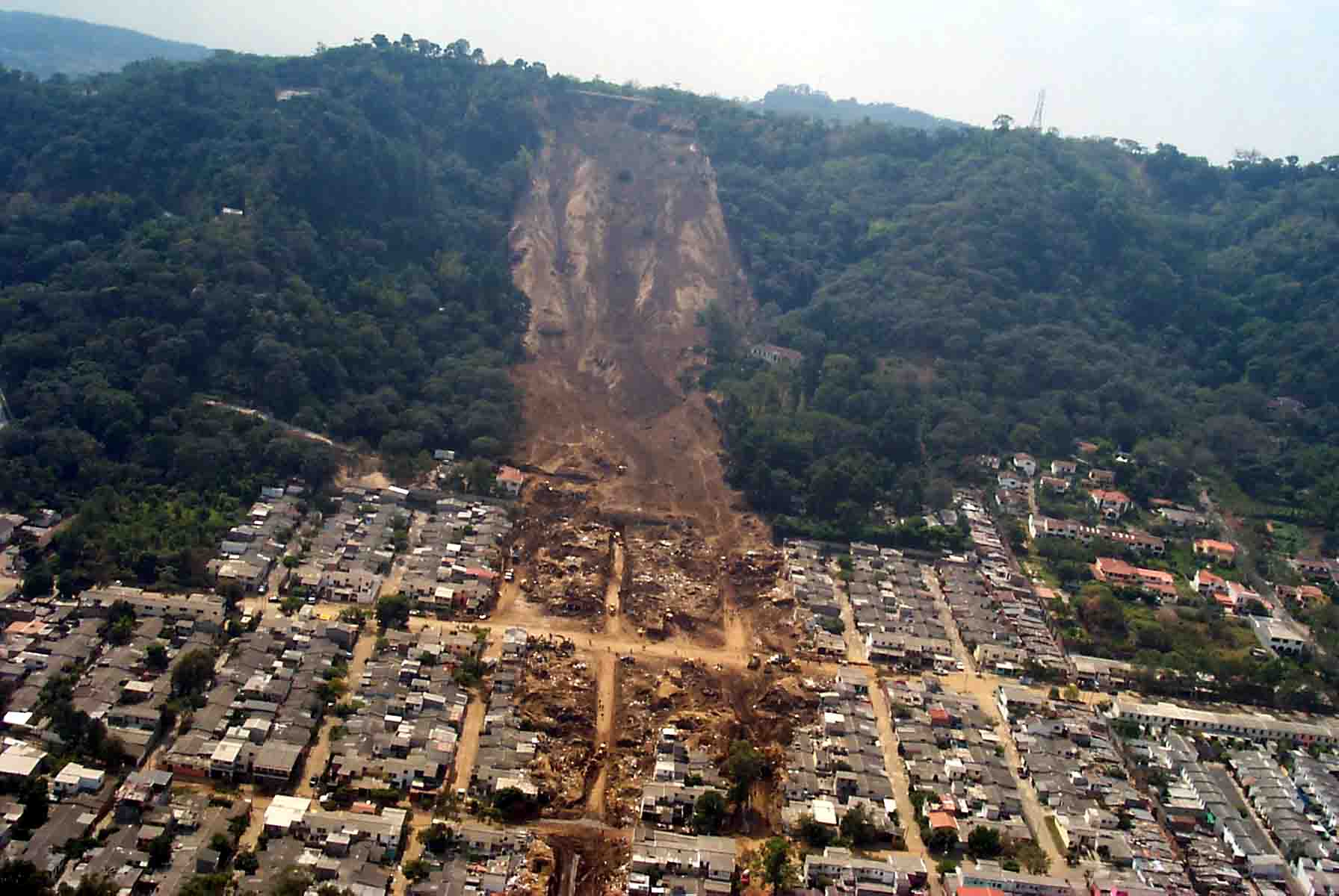
Source: US Geological Survey


