Getting the Big Picture: Remote Sensing
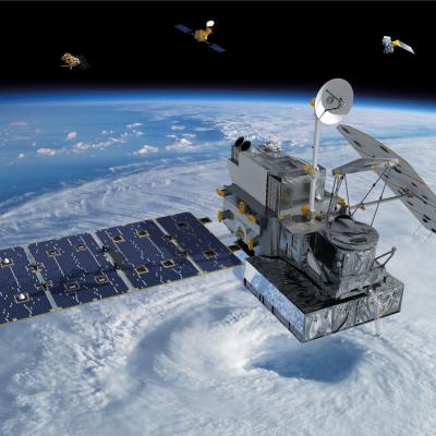
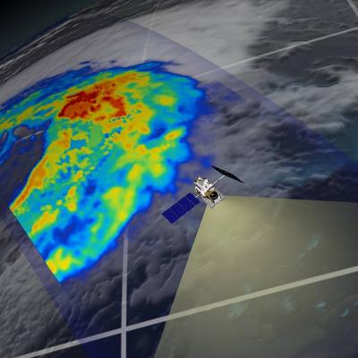
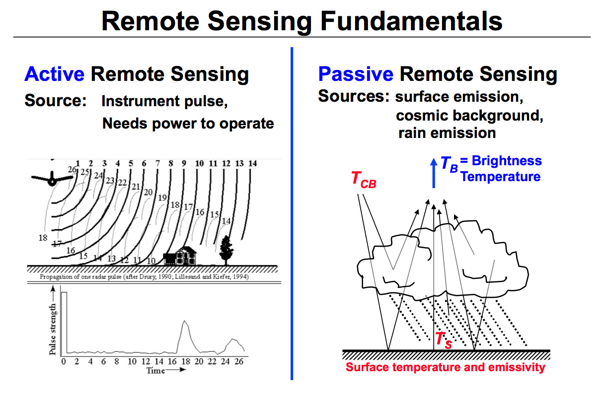
A brief animated look at the different types of remote sensing techniques that NASA uses to study the Earth. This video discusses why we need remote sensing to study the Earth, and the differences between active and passive remote sensing from satellites. It also gives examples of different types of data NASA satellites collect about the Earth, and some of the applications of that data.
This video is public domain and can be downloaded in high resolution here.


