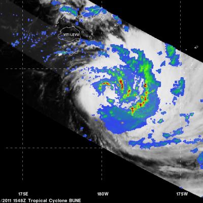
Likely Tropical Cyclone near Philippines
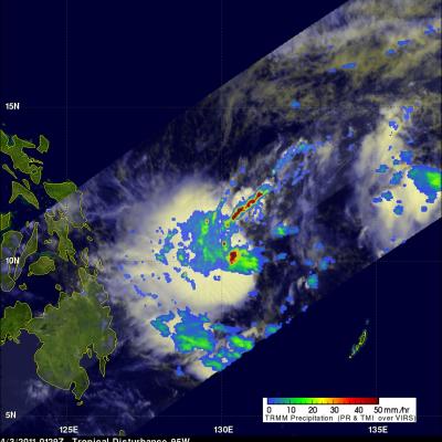
The TRMM satellite flew over an area of disturbed weather east of the Philippines on 3 April 2011 at 0129 UTC collecting data used in the image above. This area contains very intense thunderstorms with tops shooting to heights above 17 km (~10.6 miles). Heavy rainfall in these thunderstorm towers can provide the energy needed for tropical cyclone (typhoon) development.