
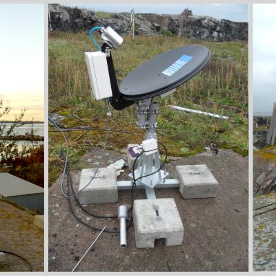
Precipitation Radars set up at IFloodS

Image Caption
The NASA Polarimetric Radar (right) and Dual-Frequency, Dual-Polarimetric Doppler Radar (left) set up in field near Traer, Iowa.
Science content

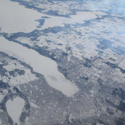

The large white “finger” in the center of the image is ice- and snow-covered Lake Simcoe.
