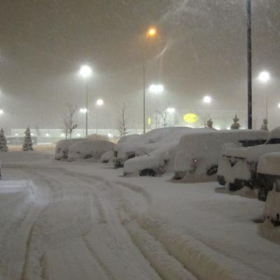
Snow - Must be Saturday!
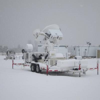
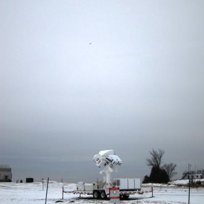
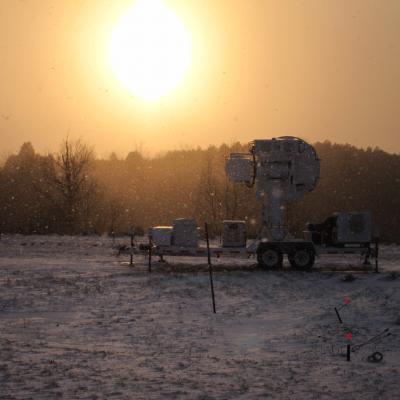
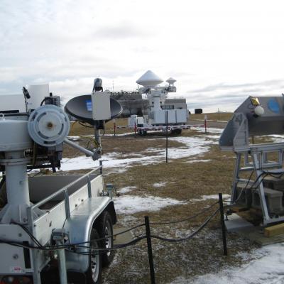
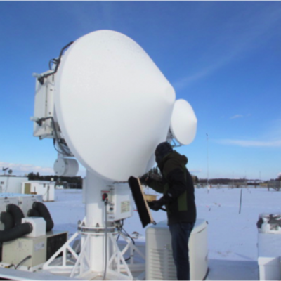
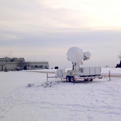
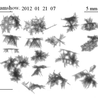
Chris Kidd is a hydrologist at Goddard Space Flight Center. This week he is at the CARE site in Ontario and writes to us about this week's flights. Isn’t it strange how the best snow tends to occur on the same day of the week; when I was little it was always a Thursday. Last Saturday we had a good lake effect snowfall over Barrie (Ontario), this Saturday we had another 6 inches of snow. The forecast proved to accurate in terms of the timing; a 3:15 am start from the hotel to drive out to the field site and prepare for the days operations; the first flakes of snow started to fall as I arrived