Analysis of Heavy Rain over the Eastern United States
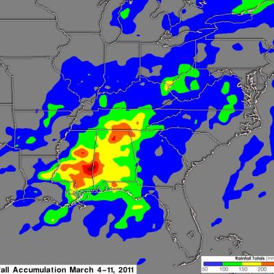
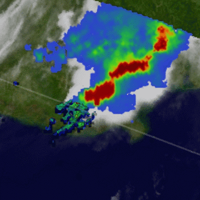
Although the heaviest rainfall over the past week was in the southern United States, flooding was reported in states from Louisiana to northern New York. The rainfall analysis above was made by merging precipitation data from multiple satellites. This Multisatellite Precipitation Analysis (TMPA) analysis used data products that were calibrated with TRMM precipitation data. These data products are calculated and stored at Goddard Space Flight center and are available within a few hours after being received by satellites. This analysis indicates that the greatest total rainfall for the past week