Songda becomes a Super Typhoon

As predicted, Typhoon Songda intensified and was a super typhoon with wind speeds estimated at over 130 kts ( ~145 mph) when the TRMM satellite passed directly over head on 26 May 2011 at 0806 UTC. The image above used data from TRMM's Visible and InfraRed Scanner (VIRS) and a TRMM rainfall analysis . The rainfall analysis from TRMM's Microwave Imager (TMI) and Precipitation Radar (PR) data shows that Songda had a circular eye with extremely heavy rainfall, particularly in the southeast quadrant. TRMM's PR data shows the concentric rain bands typical of powerful typhoons. Below is a simulated

TRMM Sees Typhoon Songda

Typhoon Songda was east of the Philippines when the TRMM satellite had an early evening view on 25 May 2011 at 0903 UTC. Both TRMM's Microwave Imager (TMI) and Precipitation Radar (PR) instruments were used to provide the rainfall analysis shown above. TRMM's TMI had the best coverage of rainfall with Songda and showed well organized bands of moderate to heavy rainfall converging into the typhoon. Songda was an intensifying category 3 typhoon, on the Saffir-Simpson scale, with wind speeds of over 105 kts (~121 mph) at that time. Songda is predicted to become a very powerful category 4 super

Tropical Storm Four Forms in the Pacific

The TRMM satellite flew over rapidly forming TS04W in the western Pacific on 20 May 2011 at 0037 UTC (~10:37 AM LOCAL TIME). This daylight TRMM pass showed that the tropical cyclone was becoming much better organized. The intensifying tropical cyclone now contained several areas of heavy thunderstorms dropping rain at over 50 mm/hour (~2 inches/hour). The 3-D perspective image on the upper right shows the storm's vertical structure. TRMM's Precipitation Radar (PR) now showed that some thunderstorm towers near the center of circulation were punching up to heights of over 16 km (~9.9 miles)

Successful Completion of CDR

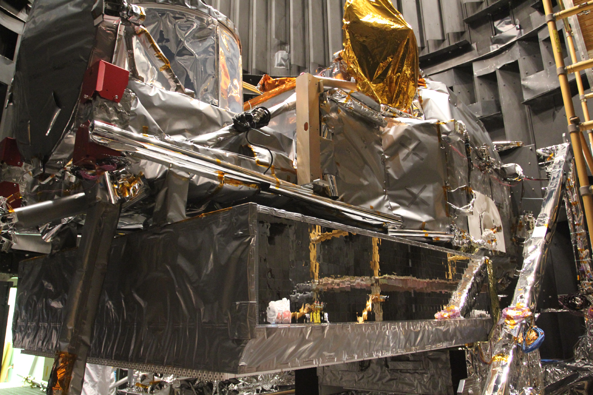
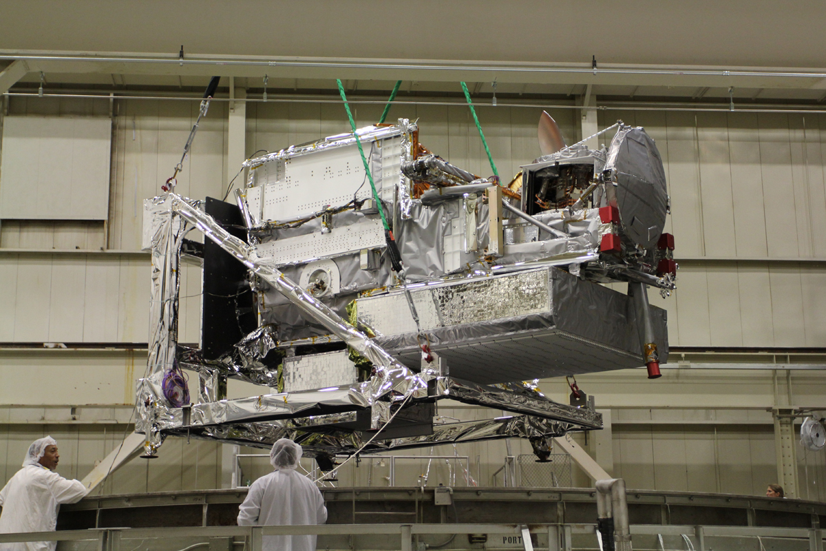
GPM has successfully completed the GPM Mission Critical Design Review (CDR) on December 17, 2009. During this phase of the mission the activities are focused on the implementation of science and engineering plans for the mission. The engineering activities are focused on: Core Observatory development (in-house development at Goddard Space Flight Center, Greenbelt Maryland) GPM Microwave Imager (GMI) instrument development for flight units 1&2 (at Ball Aerospace, Boulder Colorado) Dual Precipitation Radar (DPR) instrument development (JAXA- Japan) Ground Validation preparation for the field