Skip to main content
GLOBAL
PRECIPITATION
MEASUREMENT
SEARCH
QUESTIONS
Missions
GPM
GPM Core Observatory
GPM Microwave Imager (GMI)
Dual-frequency Precipitation Radar (DPR)
GPM Constellation
Launch
GPM 10 Year Anniversary
TRMM
Spacecraft and Instruments
Extreme Weather News
Articles
Data
Data Directory
Data Sources
Data News
Data FAQ
Data Policy
Training
Tutorials
Ground Validation Data
IMERG
Precipitation Climatology
Seasonal Precipitation Variations
Visualization
IMERG Global Viewer
NASA Worldview
Precipitation & Applications Viewer
RAIN Global Viewer
Articles
Applications
Ecology
Water & Agriculture
Energy
Weather
Extreme Weather News
Health
Disease Initiative
Disasters
Landslides
COOLR
Landslide Reporter
Landslide Reporter FAQ
Who's Using GPM Data
Applications Highlights
Articles
Science
Research Topics
Storm Structure and Mesoscale Dynamics
The Global Water Cycle
Climate Analysis
Precipitation Microphysics
Ground Validation
Field Campaigns
Ground and Airborne Instruments
Validation
Precipitation Algorithms
Meetings
PMM Science Team
Articles
Resources
Frequently Asked Questions
Image Gallery
Video Gallery
Documents
GPM Refereed Publications
TRMM Refereed Publications
3D Printed GPM Precipitation Data
Media & Press Resources
Glossary
All Articles
Education
Water Cycle
Weather & Climate
Societal Applications
Technology
Home
Articles
Articles
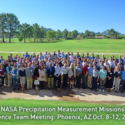
2016 PMM Science Team Meeting Files
Friday, December 27, 2019
2017 PMM Science Team Meeting Files
Friday, December 27, 2019
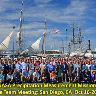
2019 PMM Science Team Meeting Files
Thursday, December 26, 2019
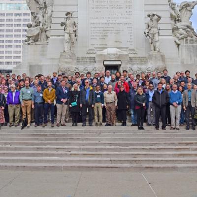
2018 PMM Science Team Meeting Files
Thursday, December 26, 2019
Meetings
Wednesday, December 18, 2019
Pagination
First page
« First
Previous page
‹‹
…
Page
39
Page
40
Page
41
Page
42
Current page
43
Page
44
Page
45
Page
46
Page
47
…
Next page
››
Last page
Last »