By Ellen Gray, NASA Goddard Space Flight Center Original
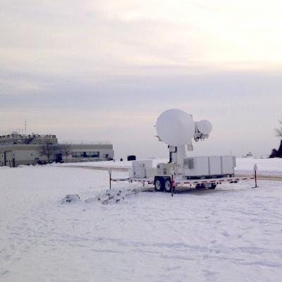
www.nasa.gov Feature (published 1/31/12) Predicting the future is always a tricky business -- just watch a TV weather report. Weather forecasts have come a long way, but almost every season there's a snowstorm that seems to come out of nowhere, or one that's forecast as 'the big one' that turns out to be a total bust. In the last ten years, scientists have shown that it is possible to detect falling snow and measure surface snowpack information from the vantage point of space. But there remains much that is unknown about the fluffy white...