By Ellen Gray , NASA Goddard Space Flight Center Original
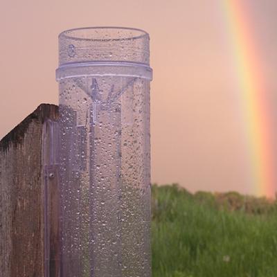
www.nasa.gov Press Release (published 2/6/13) NASA and the Community, Collaborative Rain, Hail, and Snow Network (CoCoRaHS) run by Colorado State University, Fort Collins, invite the public to participate in a free webinar to promote citizen science that involves rain and snow measurements across the United States. CoCoRaHS rain gauge after a storm. Image Credit: Henry Reges / CoCoRaHS HQ CoCoRaHS is a citizen scientist network with more than 16,000 volunteers nationwide that encourages volunteers of all ages to record and monitor...