By Ellen Gray , NASA Goddard Space Flight Center Original
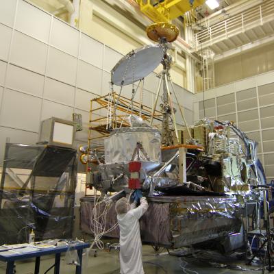
www.nasa.gov Article (published 10/17/12) NASA's Global Precipitation Measurement (GPM) Core Observatory satellite went through its first complete comprehensive performance test (CPT), beginning on Oct. 4, 2012 at NASA's Goddard Space Flight Center in Greenbelt, Md. The testing ran twenty-four hours, seven days a week and lasted ten days as the entire spacecraft was put through its paces. "This is the first time we've gotten to see the observatory all put together, running the way it's supposed to be running in flight," said CPT Test...