Algorithms
PPS will commence Version 4 processing of GPM and Partner satellite products in early March 2016. All current Version 3 products will be processed through February 29, 2016. Once the current products are completed there will be a delay before the first version 4 products will be made available to the public. The first data date for version 4 will be March 1, 2016. Once PPS has verified the processing and products for version 4 they will be released and made available from our ftp site. At this time PPS will commence reprocessing. GPM products will be reprocessed back to launch, March 2014
Recent 3B41RT and 3B42RT Files Reprocessed
NOAA has reprocessed the global IR data for 10 UTC 26 April through 14 UTC 27 April due to dropped images, and all 3B41RT and 3B42RT files for this time period have been reprocessed by PPS and are now available: 3B41RT.2015042610.7.bin.gz through 3B41RT.2015042714.7.bin.gz 3B42RT.2015042612.7.bin.gz through 3B42RT.2015042715.7.bin.gz Such partial dropouts in the IR data result in somewhat lower quality for IMERG Early and Late Runs, but are not cause for reprocessing.
The Data Downpour
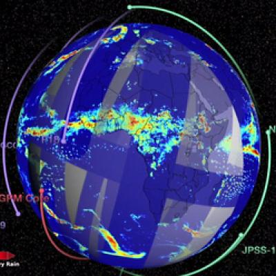
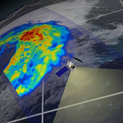
A video describing how the GPM constellation turns observed radiances and reflectivities of global precipitation into data products.
For more information visit http://www.nasa.gov/content/goddard/g...
GPM Data Release Schedule Announced
The GPM Core Observatory satellite was successfully launched on February 27th, 2014. Data from the GPM Microwave Imager (GMI) and Dual-frequency Precipitation Radar (DPR) have the following release schedule. All data are freely available through the NASA's Precipitation Processing System at http://pps.gsfc.nasa.gov June 16th – GMI Level 1 Brightness Temperature data have been released. This includes GMI instrument swath data. July 14th – GMI Level 2 Precipitation Rate data will be released. This includes precipitation rates estimated using the Goddard Profiling algorithm (GPROF14) and are
2013 PMM Science Team Meeting
The NASA Precipitation Measurement Missions (PMM) Science Team for the TRMM and GPM missions met on March 18-21, 2013 in Annapolis, MD. This meeting included oral, poster, and evening working group sessions covering mission/program status, algorithm development activities, international partner reports, science activities, field campaign results, and other science team business. More than 175 scientists from 11 countries participated. The TRMM satellite is now in its 16th year of on-orbit operation and the GPM Core Observatory is scheduled to launch in early 2014.
5th International GPM Ground Validation Workshop
The 5th International Workshop for GPM Ground Validation (GV) hosted by Environment Canada was held on July 10-12, 2012, in Toronto, Canada. The primary objectives of the workshop were to improve understanding of high-latitude GV priorities and practices, identify and prioritize remaining issues with algorithm development, increase coordination amongst international partners, and improved understanding of how such information can be incorporated into GPM retrieval algorithms. Over 80 participants from 15 nations attended the workshop to report on cooperative ground validation activities


