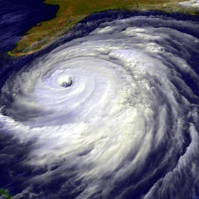
Deadly Typhoon Nesat Hits The Philippines
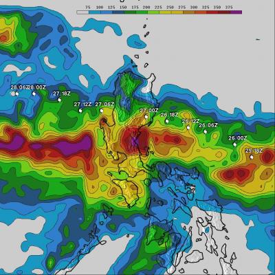
Powerful typhoon Nesat (known locally as Pedring) came ashore in the Philippines on Tuesday September 27, 2011 causing the deaths of at least 33 people. Nesat was classified as a category three typhoon on the Saffir-Simpson scale with winds of 105 knots (~121 mph) before hitting the island of Luzon. The rainfall analysis above is the result of a TRMM-calibrated merged global Multi-satellite Precipitation Analysis (MPA) performed at Goddard Space Flight Center (GSFC). These MPA rainfall total estimates were for the period from 24-29 September 2011. This analysis indicates that the highest