Extreme Weather News

Jump to a Year

2024 | 2023 | 2022 | 2021 | 2020

2019 | 2018 | 2017 | 2016 | 2015

2014 | 2013 | 2012 | 2011 | 2010

2009 | 2008 | 2007 | 2006 | 2005

2004 | 2003 | 2002

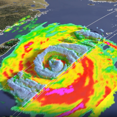
GPM overpass of Super Typhoon Bavi
After rapidly intensifying over the western Pacific, Super Typhoon Bavi became the second super typhoon to strike the Northern Marianas this year, passing over the island chain north of Guam with maximum sustained winds reported at 180 mph by the US Joint Typhoon Warning Center (JTWC). Super Typhoon Sinlaku also hit the islands back in mid-April. Bavi continued on to make landfall in eastern China where it brought heavy rains to the region. Like Typhoon Sinlaku, Bavi began in the West Pacific Ocean between Micronesia and the Marshall Islands from a broad westward-moving area of thunderstorm
GPM DPR overflight of Sinlaku (2026)
In April 2026, Typhoon Sinlaku impacted the Pacific Islands of Guam, Saipan, and Tinian. As the storm approached the islands and made landfall, NASA's Global Precipitation Measurement mission (GPM) satellite and multi-satellite data-processing algorithms gave insights into the rain that fell from this powerful storm. Now, learn how GPM helps us go beyond individual snapshots of surface rainfall by observing Typhoon Sinlaku over time and through the depth of Earth's atmosphere. The Time Dimension Because of technological limitations, satellite instruments that see into a storm don't hover over
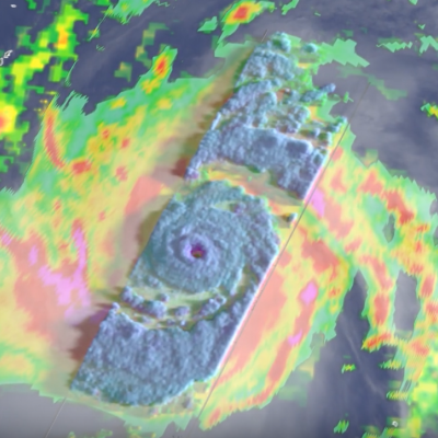
GPM overpass of Typhoon Sinlaku
The GPM Core Observatory flew over the center of Super Typhoon Sinlaku at 12:08 UTC (10:08 pm LST) April 12th, providing a detailed look into the structure and intensity of the precipitation within Sinlaku.
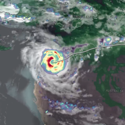
Screenshot of an animation of IMERG precipitation estimates from Tropical Cyclone Narelle in March 2026
After intensifying into a powerful Category 4 cyclone (Category 5 on the Australian scale) in the Coral Sea, Narelle made landfall on the east coast of Queensland, before continuing on across the Northern Territory, and turning south to make landfall yet again in Western Australia. Along the way, Narelle brought gusty winds and heavy rains to all three regions. Narelle first began as a westward-moving area of low pressure south of the Solomon Islands. Warm sea surface temperatures (SSTs), weakening wind shear, and persistent convective activity allowed the circulation to organize such that the

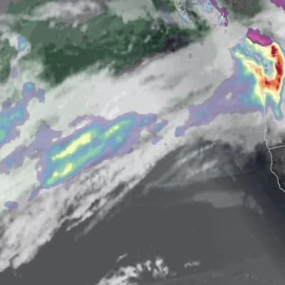
IMERG view of an atmospheric river impacting Washington State on December 9, 2025
Several atmosphere rivers have recently carried plumes of moisture from the Tropics toward the United States. These plumes of water vapor have contributed to flood-producing storms over Washington State during the first three weeks of December 2025.