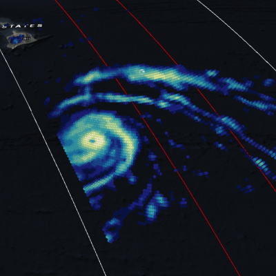
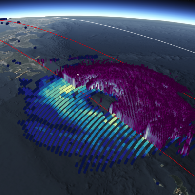
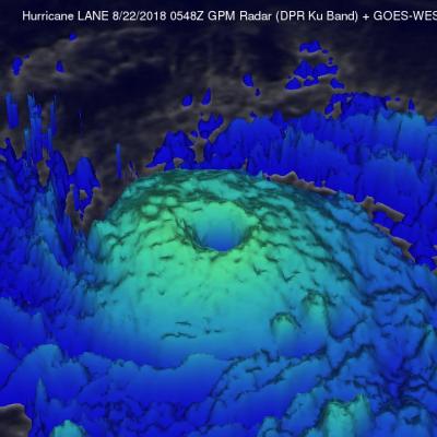
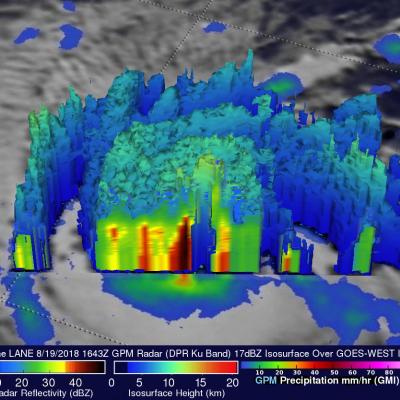
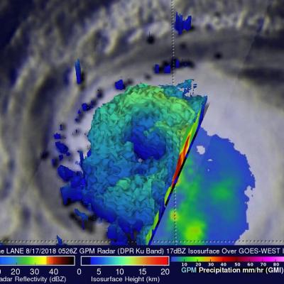
Tropical Storm Miriam's Formation Observed by GPM
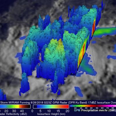
Tropical cyclone's continue to regularly develop in the eastern Pacific Ocean. Tropical Depression Fifteen-E formed in the eastern Pacific Ocean about 1000 nautical miles (1852 km) southwest of the Baja California peninsula early on Sunday August 26, 2018. TD15E became better organized with increased banding later in the day and was upgraded by the National Hurricane Center (NHC) to tropical storm MIRIAM. The GPM core observatory satellite saw the forming tropical storm earlier on August 26, 2018 at 0223 UTC. Heavy rainfall near the center of the forming tropical cyclone was examined with the