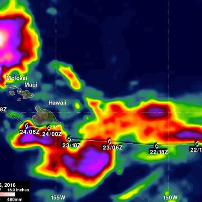
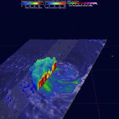
GPM Observes Tropical Storm Ivette
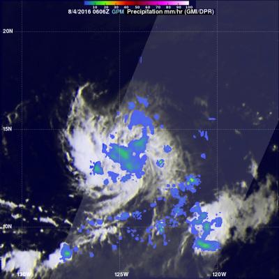
On August 2, 2016 Ivette became the 11th tropical cyclone this year in the eastern Pacific. Tropical cyclones have formed in the eastern Pacific this year at almost the same frequency as in 2015. Ivette has been moving toward the central Pacific Ocean. Warm ocean water and low vertical wind shear are expected to help Ivette intensify to hurricane intensity in a few days. The GPM core observatory passed over the eastern side of tropical storm Ivette on August 4, 2016 at 0606 UTC. GPM's Microwave Imager (GMI) and Dual-Frequency Precipitation Radar (DPR) data showed that storms around Ivette