Ignacio Expected To Pass Near Hawaii
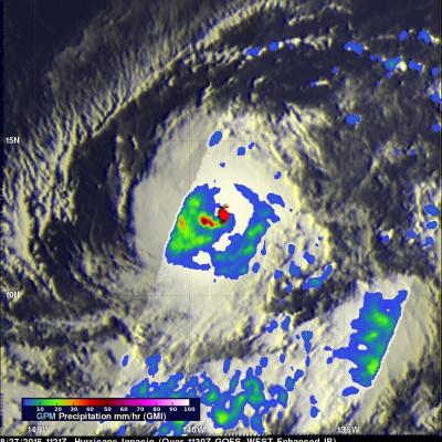
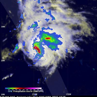
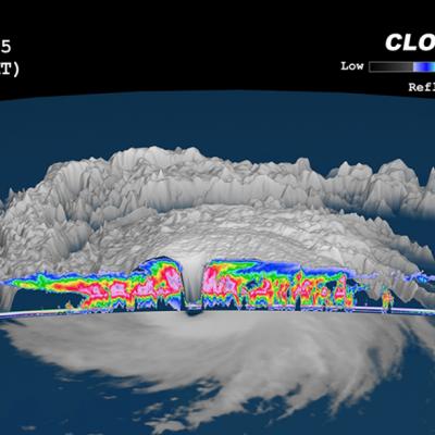
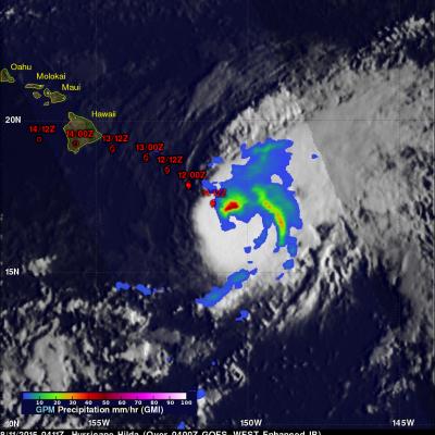
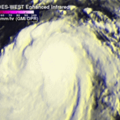
Hurricane Ignacio is the latest tropical cyclone in this busy 2015 eastern Pacific hurricane season to pose potential danger for the Hawaiian Islands. Guillermo passed close to the north, Hilda curved to the south and Kilo's course was threatening before a course change moved it to the south of the islands. The Central Pacific Hurricane Center in Honolulu Hawaii predicts that Ignacio will still be a hurricane when it passes to the northeast of Hawaii in about five days. Rainfall associated with hurricane Ignacio was measured by the GPM core observatory satellite's Microwave Imager (GMI) on