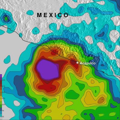
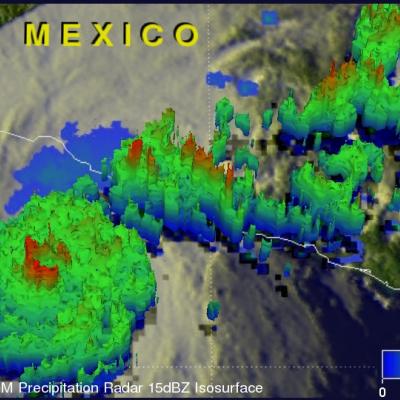
Cristina Now A Hurricane
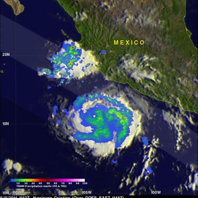
Tropical storm Cristina intensified and was a category one hurricane with wind speeds of over 65 kts (about 75 mph) when the TRMM satellite flew over on June 11, 2014 at 1142 UTC (4:42 AM PDT). A rainfall analysis that used data from TRMM's Microwave Imager (TMI) and Precipitation Radar (PR) instruments is shown overlaid on an enhanced infrared image received by the GOES-EAST satellite at 1145 UTC. TRMM TMI data clearly revealed that an eye had developed indicating that Cristina was definitely a hurricane. TRMM PR found that rain was falling at a rate of over 74.4 mm/hr (about 2.9 inches) in a