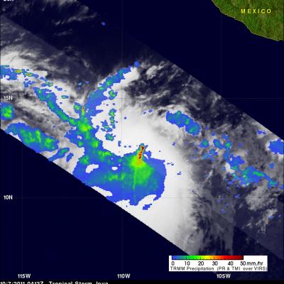
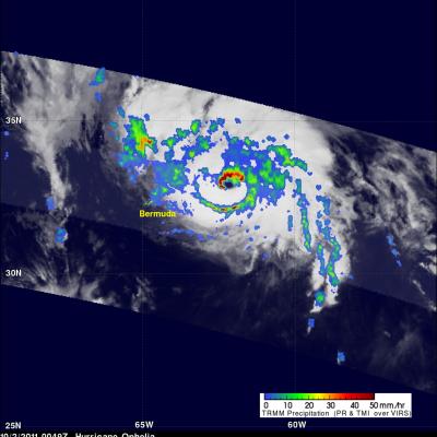
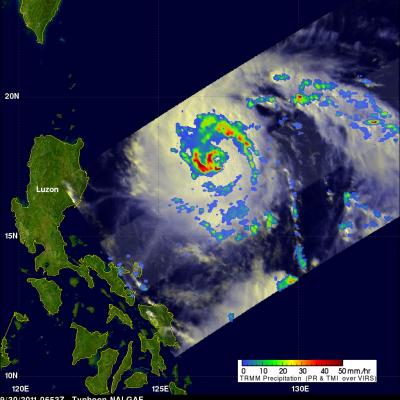
Hurricane Jova Starting to Affect Mexico
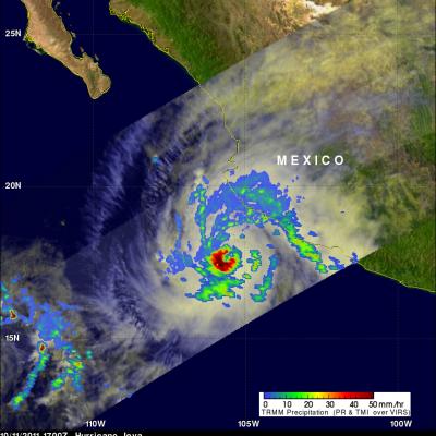
The TRMM satellite passed above hurricane Jova off the west coast of Mexico on 11 October 2011 at 1700 UTC. The image above shows a rainfall analysis from TRMM's Microwave Imager (TMI) and Precipitation Radar (PR) overlaid on a combination visible and infrared image from Visible and InfraRed Scanner (VIRS). This TRMM orbit shows that rainfall bands from the powerful category three hurricane were starting drench coastal Mexico.