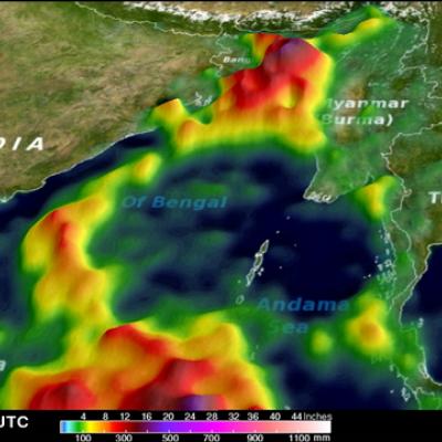
TRMM Sees Powerful Storm Over San Antonio
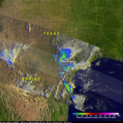
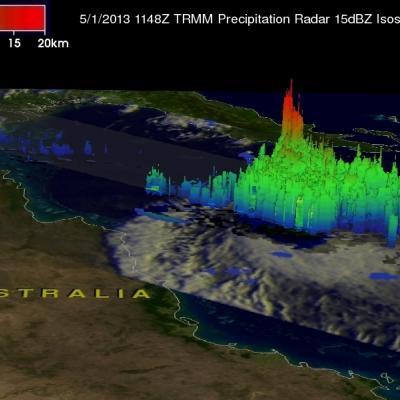
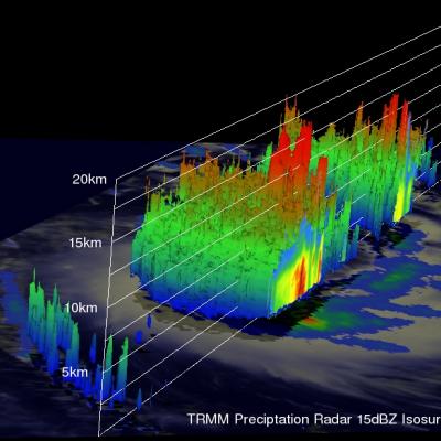
Three people died this past weekend from flooding in San Antonio, Texas. The TRMM satellite flew above Texas early Saturday morning at 1118 UTC (6:18 AM CDT) when powerful thunderstorms were drenching San Antonio. Data captured with this orbit by TRMM's Microwave Imager (TMI) and Precipitation Radar (PR) were used in this rainfall analysis. TRMM's Precipitation Radar (PR) instrument found rain falling at a rate of over 66 mm/hr (~2.5 inches) in one violent thunderstorm shown near the center of this image. This 3-D image shows a TRMM Precipitation Radar (PR) slice through storms over Texas. One