TRMM Version 8 Level 1 Reprocessing Will Start Monday Oct. 02, 2017

PPS will start the TRMM version 8 level 1 processing on Monday October 2, 2017. All products will be produced as GPM version V05. All the TRMM products are in HDF5 format with internal compression (same as the current GPM products), and will be produced using the PPS Toolkit (TKIO) version 3.80.29. The TRMM product names will be changing using the GPM naming conventions. The GPM naming convention document can be found at: https://pps.gsfc.nasa.gov/Documents/FileNamingConventionForPrecipitatio…. TRMM version 8 level 1 products have new identifiers, 1ATMI, 1BTMI, 1AVIRS

Sept 26-Sept 29 GPM NRT Radar outage

On September 26 at about 14:45 UTC the GPM radar was commanded to undertake an experimental Ka scanning approach. As the radar is not in normal observational mode no normal observational data is being generated from either the Ku or the Ka radar. This situation will continue until approximately 14:40 UTC on 29 September 2017 when the radar will be commanded back to its observational scanning approach.

GPM Views Weakening Hurricane Maria

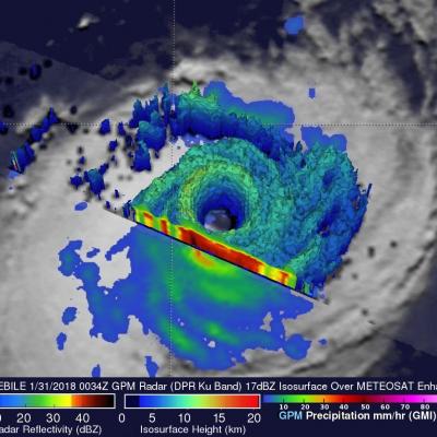
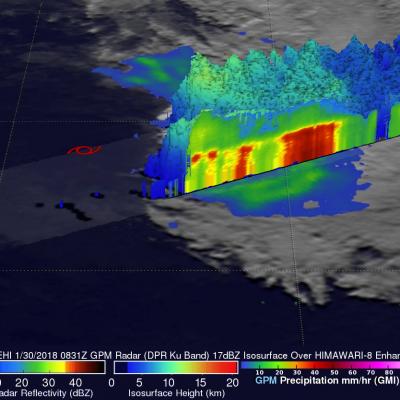
Hurricane Maria has significantly weakened from the powerful category four hurricane that devastated Puerto Rico. The GPM core observatory satellite flew over Maria on September 25, 2017 at 9:28 PM EDT (September 26, 2017 at 0128 UTC). This informative GPM pass showed that the western side of the hurricane was drier and contained much less precipitation than the eastern side. GPM's Dual-Frequency Precipitation Radar (DPR) scanned directly through the center of Maria's eye and showed that there were only light to moderate rain showers around the hurricane's center. DPR found a few convective

GPM Shows Hurricane Maria North Of Turks And Caicos Islands

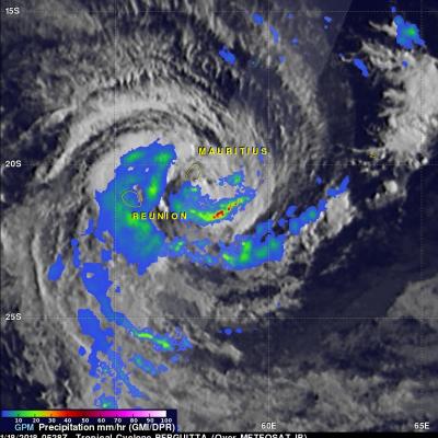
On September 23, 2017 at 8:12 AM AST (1212 UTC) the GPM core observatory satellite had another excellent view of hurricane Maria. The early morning view showed Maria heading north of the Bahamas after battering the Turks and Caicos Islands. Maria had maximum sustained wind speeds of about 121mph (105 kts). Estimates of hourly rainfall at the ocean's surface were derived from GPM's Microwave Imager (GMI) and Dual-Frequency Precipitation Radar (DPR) data. Multiple intense rainfall bands are shown rotating around the western side of the hurricane. Rain was found falling at a rate of over 6.57