Mudslides & Flooding Produced By Extreme Rainfall Over Southern California
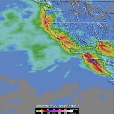
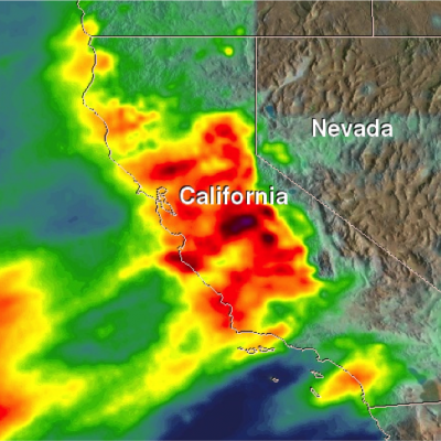
It is sunny in southern California today but recent unusually heavy rainfall led to rock slides, mudslides and flooding in that part of the country. Rainfall of almost 4 inches (101.6 mm) in one day was reported in Long Beach, California. Some highways in the area were flooded due to intense downpours. Rainfall since the fall of 2016 has improved drought conditions over northern California but Southern California has been slower to improve because of the exceptional rainfall deficit in that area. NASA's Integrated Multi-satellitE Retrievals for GPM (IMERG) were used to estimate the total


