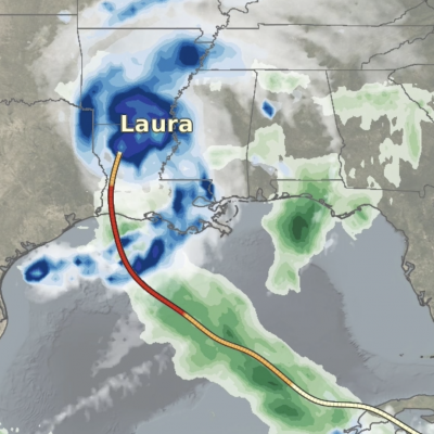
Resumption of GPM Core Observatory Science Operations and NRT Data

On 26 August 2020 at approximately 14 UTC GMI was commanded into science operations mode. Since that time PPS has been producing level 1 and level 2 GMI data. Everything continues to be nominal with GMI science operations. On 26 August 2020 at approximately 23 UTC the DPR was commanded into science operations mode. Since that time PPS has been receiving 1B data from JAXA and producing L2 products including the combined GMI/DPR product. Everything continues to be nominal with DPR science operations. Users are free to resume retrieving GPM NRT data. Initial investigation indicated that the
Hurricane Laura on August 27, 2020
Update on August 28, 2020: During its approach to Louisiana, Hurricane Laura dramatically intensified from Category 2 to 4 (105 mph to 150 mph) between at 1AM and 7PM Central Time (CDT) on August 26, 2020. In the updated movie below, the precipitation falling from Laura is shown through 10:30PM CDT, August 27, as estimated by NASA's IMERG algorithm. To open the animation in a separate window, click here. On August 26, Laura became the first North Atlantic hurricane to reach "major hurricane" status this year, meaning that it reached category 3 on the Saffir-Simpson hurricane-intensity scale

Currently Not Receiving Data from the GPM Core Satellite

Effective about 11 UTC 19 August 2020, the GPM Mission Operations Center (MOC) stopped receiving data from the GPM Core Observatory satellite. The Flight Operations Team (FOT) is currently assessing the situation. They are working to determine what configuration needs to be accomplished to reestablish data from the satellite. This will likely take a while and there will be no GPM Core Observatory data products available until communications has been successfully reestablished and tested. The IMERG product will continue to be produced but no GMI data will be included in either the early or late
Hurricane Isaias Impacts the US East Coast
From July 29 to August 5, 2020, NASA’s IMERG algorithm observed tropical storm Isaias’ rainfall over the Caribbean and large parts of the Eastern US. This animation shows the IMERG rain rates in green shading as Isaias tracked from the tropical Atlantic into the Caribbean, then northward along the Atlantic coast and into New England. The yellow line shows the location of Isaias' low-pressure center, as tracked by the National Hurricane Center and smoothed in time here for the animation.