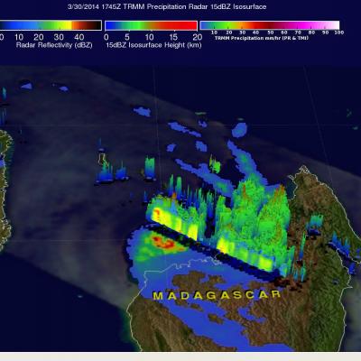
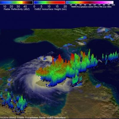
Tropical Cyclone Hellen's Lively Remnants
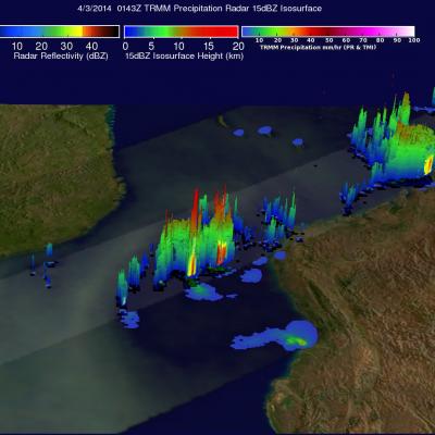
Powerful tropical cyclone Hellen rapidly weakened after hitting northwestern Madagascar but Hellen's remnants have recently started to show signs of life. The TRMM satellite flew over these remnants in the Mozambique channel on April 2, 2014 at 0143 UTC. A rainfall analysis using TRMM's Microwave Imager (TMI) and Precipitation Radar (PR) instruments found that some strong convective thunderstorms had developed in the area. It was revealed by TRMM PR data that rain was falling at a rate of over 75 mm/hr (almost 3 inches) in a few locations.