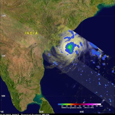
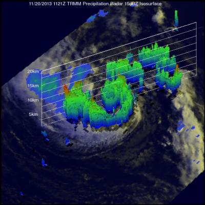
TRMM Sees Powerful Storms In Tropical Cyclone Madi
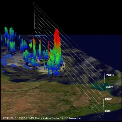
The TRMM satellite flew over tropical cyclone Madi in the Bay Of Bengal on December 11, 2013 at 1034 UTC. TRMM's Microwave Imager (TMI) and Precipitation Radar (PR) instruments found that Madi contained powerful storms southeast of Madi'a center of circulation dropping rain at the rate of over 81 mm/hr (~3.2 inches). An analysis of Madi's 3-D vertical structure using TRMM PR found that tops of these convective towers were reaching extremely high altitudes greater than 19km(~11.8 miles). Tropical cyclone Madi is predicted by the Joint Typhoon Warning Center (JTWC) to weaken while moving over