Potential Tropical Cyclone Development
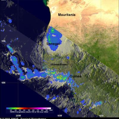
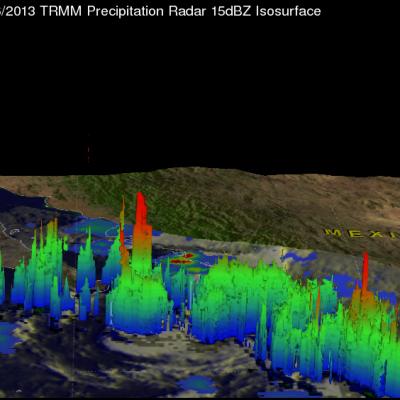
A low pressure center associated with a strong tropical wave near the African coast of Senegal may become a tropical depression south of the Cape Verde islands in the next five days. The TRMM satellite collected data used in the image above when it flew over this tropical disturbance on September 7, 2013 at 0257 UTC.