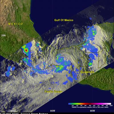
TRMM Sees Tropical Depression Two
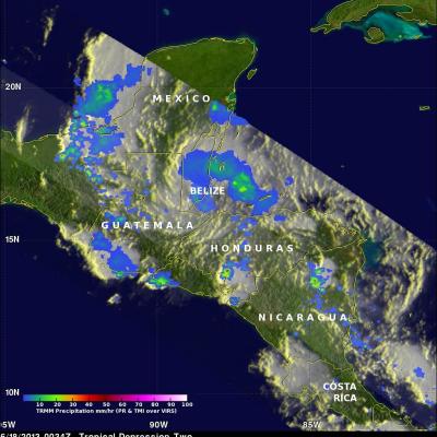
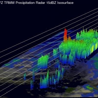
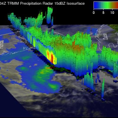
Tropical depression two that formed on Monday June 17, 2013 was observed by the TRMM satellite on June 18, 2013 at 0034 UTC (8:34 PM EDT). TRMM's Microwave Imager (TMI) and Precipitation Radar (PR) data showed that rainfall around TD02 was mainly light to moderate with TRMM PR finding that the heaviest rainfall of slightly over 69 mm/hr (2.7 inches) was located in Nicaragua.