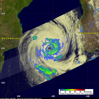
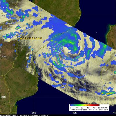
TRMM Sees Powerful Giovanna Menacing Madagascar
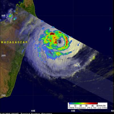
The TRMM Satellite had a fairly good early morning view of powerful tropical cyclone Giovanna approaching Madagascar on 13 February 2012 at 0333 UTC. Rainfall from TRMM Microwave Imager (TMI) data is shown overlaid on a visible/infrared image from TRMM's Visible and InfraRed Scanner (VIRS) instrument. Giovanna was an intensifying category 4 tropical cyclone with with wind speeds estimated at over 125 kts (~144 mph) and is predicted by the JTWC to become slightly more powerful before hitting Madagascar.