NASA's TRMM Satellite Sees Tornadic Texas Storms in 3-D
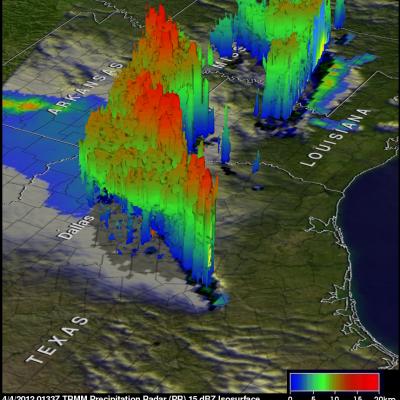
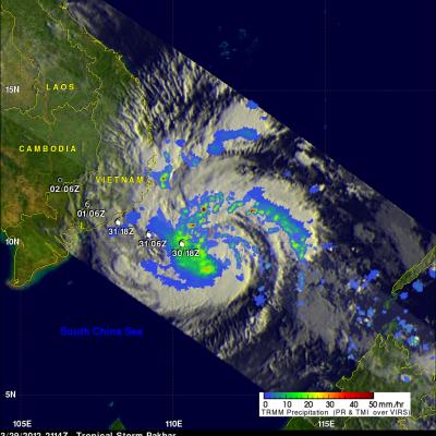
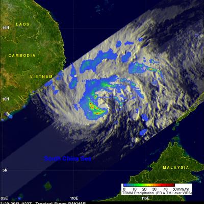
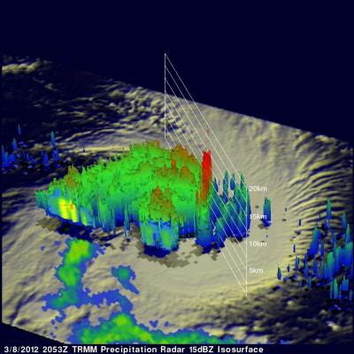
NASA's Tropical Rainfall Measuring Mission (TRMM) satellite provides a look at thunderstorms in three dimensions and shows scientists the heights of the thunderclouds and the rainfall rates coming from them, both of which indicate severity. Powerful thunderstorms that created severe weather were more than 8 miles high. The TRMM satellite passed above northeastern Texas on April 3, 8:33 p.m. CDT and gathered rainfall and cloud height data from a line of thunderstorms moving through the area. The rainfall image above shows a distinct line of tornadic thunderstorms extending from Arkansas through