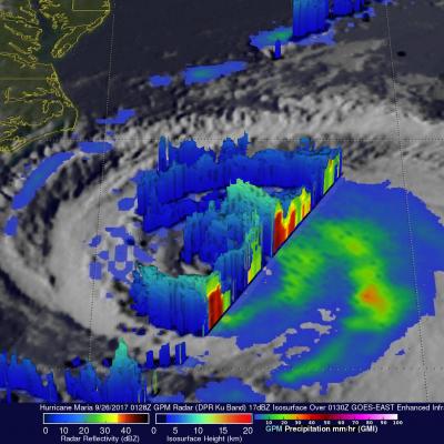
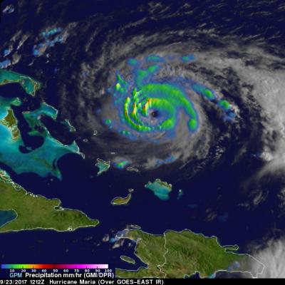
The TRMM satellite flew over newly designated tropical depression 08W in the western Pacific Ocean on 11 July 2011 at 0637 UTC. The rainfall analysis on the left above, derived from TRMM Microwave Imager (TMI) and Precipitation Radar (PR) data, shows that numerous convective thunderstorms were dropping moderate to heavy rainfall over a large area of the Pacific Ocean near 18.1N 157.3E. The Naval Maritime Forecast Center Pearl Harbor, HI (NMFC-PH) predicts that 08W will become a typhoon over the open waters of the Pacific with 65kt (~75 mph) winds by 13 July 2011. The 3-D display above uses PR
Tropical depression Three was showing much better organization with more heavy rainfall when the TRMM satellite saw it again on 7 July 2011 at 1636 UTC. Data from TRMM's Microwave Imager (TMI) showed that heavy rainfall was present in a large area over the center of the intensifying depression and in a feeder band to the west of the center. There were also a few showers shown along the Mexican coast to the northwest of the storm.
The TRMM satellite passed over an area of low pressure in the eastern Pacific Ocean south of Mexico on 7 July 2011 at 0234 UTC. The National Hurricane Center (NHC) in Miami, Florida upgraded this area of low pressure to a tropical depression at 1500 UTC ( 08:00 AM PDT) making it the third tropical depression in the eastern Pacific this hurricane season. Conditions are expected to be favorable for the depression to become a tropical storm within the next couple days. The rainfall analysis from TRMM's Microwave Imager (TMI) and Precipitation Radar (PR) data was overlaid on an infrared image from