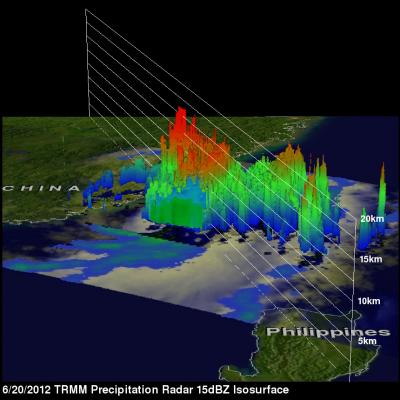
Strong Storms Bring Heavy Rain, Flooding to Upper Midwest
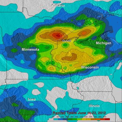
An upper-level trough of low-pressure dropping down out of the Canadian Rockies in combination with a persistent frontal boundary and high pressure over the Southeast, combined to bring about strong storms and flooding over the Upper Midwest. The storms brought the worst flooding on record to Duluth, Minnesota where as much as 10 inches of rain were reported over a 2-day period from 19th to the 20th of June, resulting in flash flooding and many washed out roads. Even the zoo was flooded. Washed out roads were blamed for 3 fatalities in nearby Wisconsin. Counter-clockwise flow around high