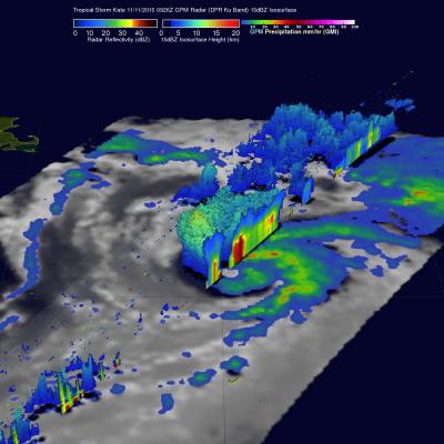
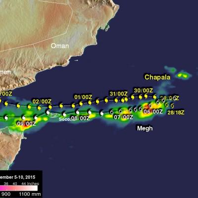
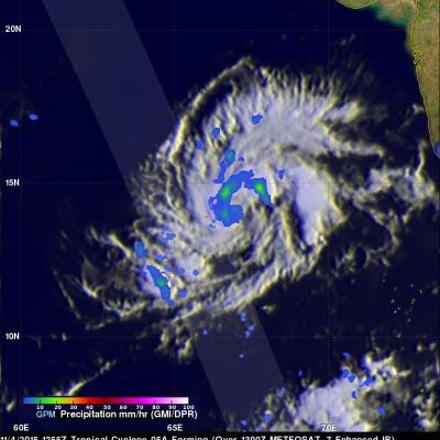
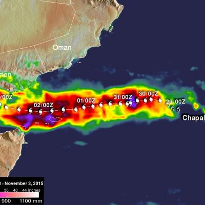
India's Deadly Flooding Rains Measured By IMERG
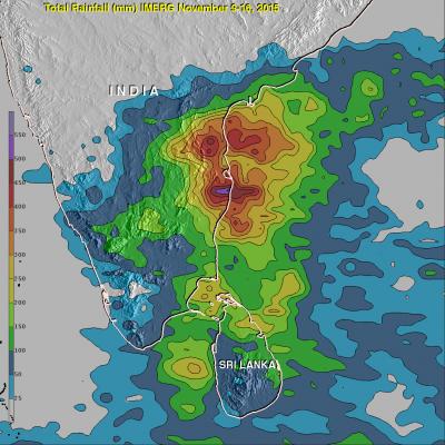
During the past week extreme rainfall from two unnamed slow moving tropical lows has causing severe flooding in southern India. This flooding has caused the reported deaths of as many as 71 people. The city of Chennai in the state of Tamil Nadu has been hit exceptionally hard with 59 people people killed. NASA's Integrated Multi-satellite Retrievals for GPM (IMERG) combines all data from 12 satellites into a global map of rainfall at half hourly intervals. The rainfall accumulation analysis above was computed from data generated by IMERG during the past week from November 9-16, 2015. An